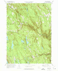
1973 Map of Becket
USGS Topo · Published 1974About this map
Washington and Middlefield anchor this survey of the Berkshire highlands, where the topography is defined by the West Branch of the Westfield River and the industrial-age footprint of the Penn Central railroad. The map documents a landscape of mid-century recreation and cultural institutions, notably the Jacobs Pillow School and Theater near Show Pond and the Mt St Lawrence Novitiate atop the ridge.
Find a feature on this map
84 named features on this map. Tap any name to fly to it.
Don’t see what you’re looking for? This feature index may not catch every label — zoom into the map to look around manually.
Map Details
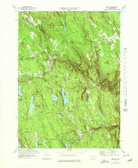
Editions of this 1973 Becket Map
2 editions found
Other maps of this area

1886 · Chesterfield
USGS Topo · 1:62,500

1886 · Becket
USGS Topo · 1:62,500

1887 · Granville
USGS Topo · 1:62,500

1888 · Becket
USGS Topo · 1:62,500

1888 · Sandisfield
USGS Topo · 1:62,500

1888 · Chesterfield
USGS Topo · 1:62,500

1889 · Granville
USGS Topo · 1:62,500

1893 · Granville
USGS Topo · 1:62,500

1893 · Chesterfield
USGS Topo · 1:62,500

1893 · Becket
USGS Topo · 1:62,500