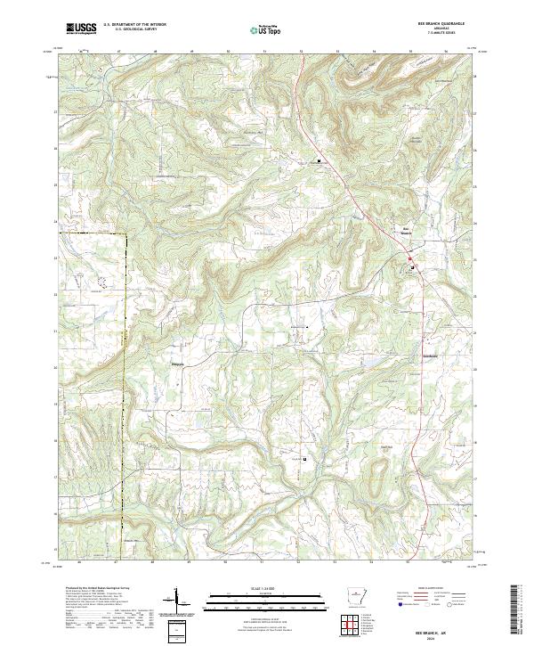
2024 Map of Bee Branch
USGS Topo · Published 2024About this map
The hills of Van Buren County and Conway County define this landscape, anchored by the community of Bee Branch. The settlement pattern follows the high ground between the drainage basins of East Fork Point Remove Creek and several smaller tributaries like Hogans Creek and Grassy Creek. Local history is centered around quiet crossroads and family sites, including Whipple and Rabbit Ridge, as well as several established burial grounds such as Quattlebaum Cem and Blackwell Cem. Significant topographic markers like Harmony Mtn, Roberts Mtn, and Tater Hill rise above the winding paths of County Road 22 and County Road 28. The inclusion of B B Ranch Lake and Southside provides a clear view of the modern rural infrastructure and small-town layout in this part of north-central Arkansas.
Find a feature on this map
97 named features on this map. Tap any name to fly to it.
Don’t see what you’re looking for? This feature index may not catch every label — zoom into the map to look around manually.
Map Details
Editions of this 2024 Bee Branch Map
This is the sole edition of this map. No revisions or reprints were ever made.
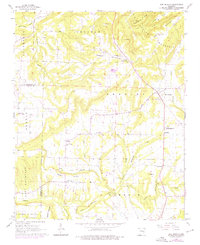
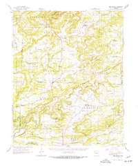
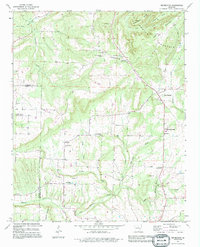
Historical Maps of Damascus Through Time
4 maps found