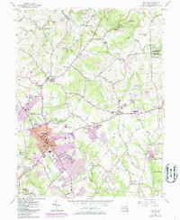
1942 Map of Bel Air
USGS Topo · Published 1942About this map
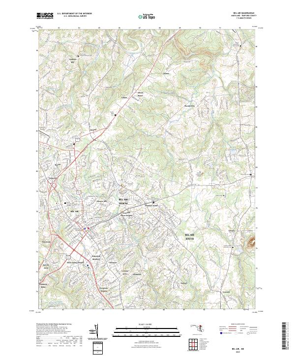
The Maryland and Pennsylvania R.R. winds through this terrain during the early 1940s, connecting numerous small settlements along the border of York and Harford counties. The landscape is defined by the drainage basins of the Susquehanna River and Deer Creek, where the local economy centered on milling and stone. Industrial and agricultural hubs like Delta, Cardiff, and Whiteford sit right at the state line, while established crossroads such as Pylesville and Forest Hill anchor the interior. Genealogists and historians can trace the concentration of family and community landmarks, including Clermont Mills, Mill Green, and Bush's Corner. The map reveals a transition from the larger commercial center at Bel Air in the south to the smaller, more dispersed farmsteads and villages like Fawn Grove and West Bangor to the north, reflecting the region's heritage of river-bound commerce and rail-fed industry.
Find a feature on this map
99 named features on this map. Tap any name to fly to it.
Don’t see what you’re looking for? This feature index may not catch every label — zoom into the map to look around manually.
Map Details
Editions of this 1942 Bel Air Map
This is the sole edition of this map. No revisions or reprints were ever made.
Historical Maps of Harford Heritage Through Time
4 maps found