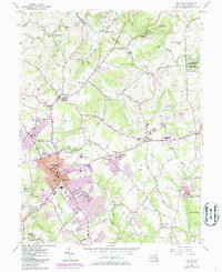
1956 Map of Bel Air
USGS Topo · Published 1986About this map
The Harford County seat of Bel Air serves as the central hub of this mid-century survey, which reveals a landscape transitioning from rural agricultural roots to suburban expansion. The town center is densely marked with civic landmarks including the Armory, Court House, and County Jail, while later revisions highlighted in purple show the emergence of modern retail at the Harford Mall. Outside the main town, smaller crossroad communities like Hickory, Churchville, and Bynum maintain their distinct identities, often anchored by historic religious and educational sites such as St Ignatius Ch and Central Sch.
Find a feature on this map
83 named features on this map. Tap any name to fly to it.
Don’t see what you’re looking for? This feature index may not catch every label — zoom into the map to look around manually.
Map Details
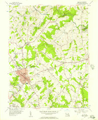
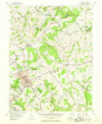
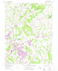
Editions of this 1956 Bel Air Map
4 editions found
Other maps of this area

1893 · Gunpowder
USGS Topo · 1:62,500

1898 · Tolchester
USGS Topo · 1:125,000

1900 · Havre De Grace
USGS Topo · 1:62,500

1900 · Betterton
USGS Topo · 1:62,500

1901 · Belair
USGS Topo · 1:62,500

1901 · Gunpowder
USGS Topo · 1:62,500

1903 · Tolchester
USGS Topo · 1:125,000

1908 · Tolchester
USGS Topo · 1:125,000

1941 · Gunpowder
USGS Topo · 1:62,500

1942 · Havre De Grace
USGS Topo · 1:62,500