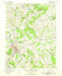
1956 Map of Bel Air
USGS Topo · Published 1969About this map
Bel Air serves as the focal point of this mid-century survey, revealing a well-established county seat surrounded by a network of smaller farming settlements and institutional landmarks. The Maryland and Pennsylvania Railroad cuts across the landscape, linking communities like Bynum and Frogtown to the larger region. Religious and social centers are prominent, with numerous congregations such as St Margarets Ch, Sta Emmanuel Ch, and Mt Zion Ch serving the local population.
Find a feature on this map
88 named features on this map. Tap any name to fly to it.
Don’t see what you’re looking for? This feature index may not catch every label — zoom into the map to look around manually.
Map Details
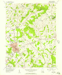
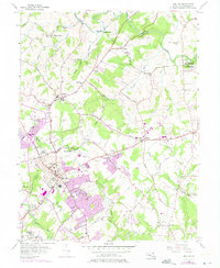
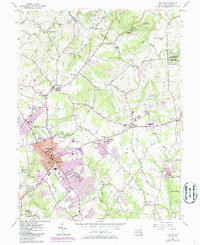
Editions of this 1956 Bel Air Map
4 editions found
Other maps of this area

1893 · Gunpowder
USGS Topo · 1:62,500

1898 · Tolchester
USGS Topo · 1:125,000

1900 · Havre De Grace
USGS Topo · 1:62,500

1900 · Betterton
USGS Topo · 1:62,500

1901 · Belair
USGS Topo · 1:62,500

1901 · Gunpowder
USGS Topo · 1:62,500

1903 · Tolchester
USGS Topo · 1:125,000

1908 · Tolchester
USGS Topo · 1:125,000

1941 · Gunpowder
USGS Topo · 1:62,500

1942 · Havre De Grace
USGS Topo · 1:62,500