
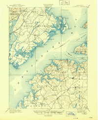
1900 Map of Betterton
USGS Topo · Published 1900About this map
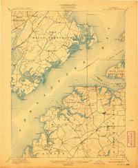
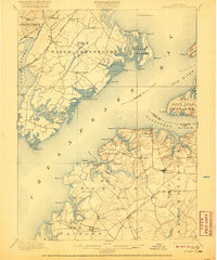
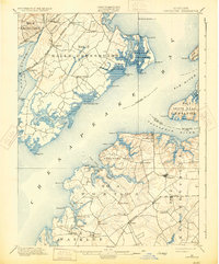
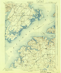
The Upper Chesapeake Bay at the turn of the century is defined by its deep reliance on water transport and rail access. Along the eastern shore in Kent County, the town of Betterton serves as a prominent landing point near the mouth of the Sassafras River, while numerous small wharves like Harris Wharf and Gales Whf. line the rugged estuaries of Stillpond Creek and Worton Creek. These maritime hubs provided essential links for the inland farming communities of Stillpond, Lynch, and Hanesville, connecting them to the larger trade networks of the bay.
Find a feature on this map
77 named features on this map. Tap any name to fly to it.
Don’t see what you’re looking for? This feature index may not catch every label — zoom into the map to look around manually.
Map Details
Editions of this 1900 Betterton Map
6 editions found
Other maps of this area

1893 · North Point
USGS Topo · 1:62,500

1893 · Gunpowder
USGS Topo · 1:62,500

1898 · Elkton
USGS Topo · 1:62,500

1898 · Tolchester
USGS Topo · 1:125,000

1899 · Dover
USGS Topo · 1:125,000

1900 · Elkton
USGS Topo · 1:62,500

1900 · Cecilton
USGS Topo · 1:62,500

1900 · Havre De Grace
USGS Topo · 1:62,500

1901 · Belair
USGS Topo · 1:62,500

1901 · Chestertown
USGS Topo · 1:62,500