
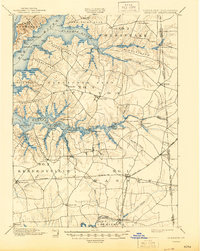
1900 Map of Cecilton
USGS Topo · Published 1900About this map
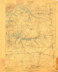
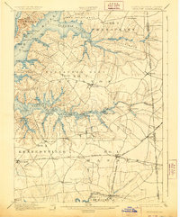
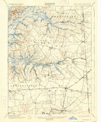
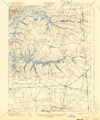
Cecilton and the surrounding necks of the upper Chesapeake peninsula define this turn-of-the-century landscape, where the tidal fingers of the Sassafras River and Bohemia River dictated the flow of commerce. The map documents a maritime economy transition, recording numerous landings and wharves such as Wilson Point Whf., Cassidy Whf., and Turner Creek Whf. that served as critical connection points for the region’s agricultural output. Inland, the Baltimore and Delaware Bay R. R. cuts a straight line through the southern portion of the quadrangle, linking rural outposts like Blacks and Lambson to the larger rail network. Smaller settlements like Earleville and Warwick appear as quiet crossroads, while the dual ports of Fredericktown and Georgetown face each other across the Sassafras, marking a historic crossing point between Cecil and Kent counties.
Find a feature on this map
86 named features on this map. Tap any name to fly to it.
Don’t see what you’re looking for? This feature index may not catch every label — zoom into the map to look around manually.
Map Details
Editions of this 1900 Cecilton Map
6 editions found
Other maps of this area

1898 · Elkton
USGS Topo · 1:62,500

1898 · Tolchester
USGS Topo · 1:125,000

1899 · Dover
USGS Topo · 1:125,000

1900 · Elkton
USGS Topo · 1:62,500

1900 · Havre De Grace
USGS Topo · 1:62,500

1900 · Betterton
USGS Topo · 1:62,500

1901 · Chestertown
USGS Topo · 1:62,500

1903 · Tolchester
USGS Topo · 1:125,000

1904 · Wilmington
USGS Topo · 1:62,500

1905 · Barclay
USGS Topo · 1:62,500