
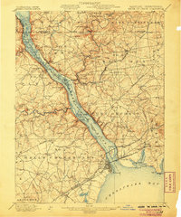
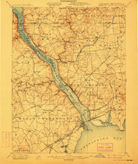
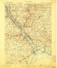
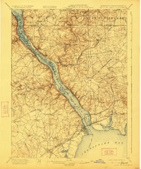
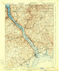
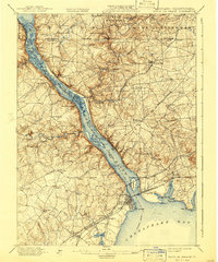
1900 Map of Havre De Grace
USGS Topo · Published 1900About this map
The Susquehanna River cuts a deep path toward the Chesapeake Bay on this 1899 survey, serving as the central artery for a region defined by river navigation and burgeoning rail lines. Along the western bank, the Tidewater Canal (Abandoned) is already noted as out of service, marking a transition from mule-drawn barge traffic to the steam power of the Baltimore and Ohio RR and the Philadelphia Wilmington and Baltimore RR crossing at Havre De Grace.
Find a feature on this map
143 named features on this map. Tap any name to fly to it.
Don’t see what you’re looking for? This feature index may not catch every label — zoom into the map to look around manually.
Map Details
Editions of this 1900 Havre De Grace Map
7 editions found
Other maps of this area

1893 · Gunpowder
USGS Topo · 1:62,500

1898 · Elkton
USGS Topo · 1:62,500

1898 · Tolchester
USGS Topo · 1:125,000

1899 · Dover
USGS Topo · 1:125,000

1900 · Elkton
USGS Topo · 1:62,500

1900 · Cecilton
USGS Topo · 1:62,500

1900 · Betterton
USGS Topo · 1:62,500

1901 · Belair
USGS Topo · 1:62,500

1901 · Gunpowder
USGS Topo · 1:62,500

1903 · Tolchester
USGS Topo · 1:125,000