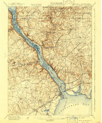
1900 Map of Havre De Grace
USGS Topo · Published 1941About this map
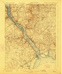
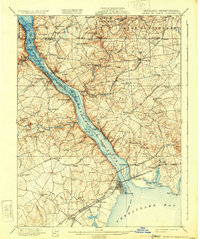
The Susquehanna River dominates this turn-of-the-century landscape, acting as both a formidable barrier and a primary conduit for industry between Havre De Grace and the Pennsylvania border. The map illustrates a complex network of 19th-century infrastructure, including the Baltimore and Philadelphia Turnpike and multiple rail lines like the Columbia and Port Deposit R. R. that hug the river's eastern bank. Local industry is anchored by the Principio Furnace near the shores of Furnace Bay, highlighting the area's long-standing connection to iron production.
Find a feature on this map
123 named features on this map. Tap any name to fly to it.
Don’t see what you’re looking for? This feature index may not catch every label — zoom into the map to look around manually.
Map Details
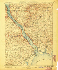
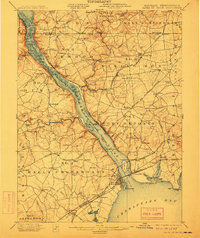
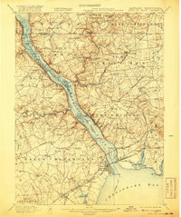
Editions of this 1900 Havre De Grace Map
7 editions found
Other maps of this area

1893 · Gunpowder
USGS Topo · 1:62,500

1898 · Elkton
USGS Topo · 1:62,500

1898 · Tolchester
USGS Topo · 1:125,000

1899 · Dover
USGS Topo · 1:125,000

1900 · Elkton
USGS Topo · 1:62,500

1900 · Cecilton
USGS Topo · 1:62,500

1900 · Havre De Grace
USGS Topo · 1:62,500

1900 · Betterton
USGS Topo · 1:62,500

1901 · Belair
USGS Topo · 1:62,500

1901 · Gunpowder
USGS Topo · 1:62,500