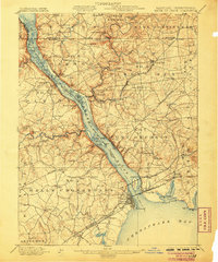
1900 Map of Havre De Grace
USGS Topo · Published 1906About this map
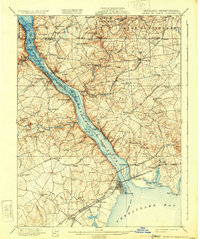
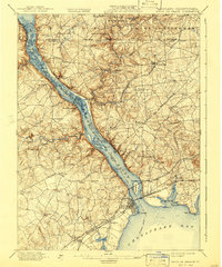
The Susquehanna River dominates this turn-of-the-century survey as it flows into the Chesapeake Bay, acting as both a natural barrier and a vital corridor for the commerce of the day. Along the eastern banks, the Columbia and Port Deposit Railroad and the Philadelphia Wilmington and Baltimore Railroad facilitate trade through riverfront hubs like Port Deposit and the coastal city of Havre De Grace. The map reveals a landscape defined by its riverine economy and early industrial activity, including Lees Mill in the north and the Principio Furnace near the Northeast River.
Find a feature on this map
149 named features on this map. Tap any name to fly to it.
Don’t see what you’re looking for? This feature index may not catch every label — zoom into the map to look around manually.
Map Details
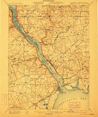
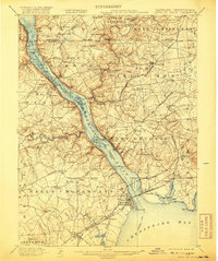
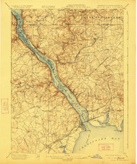
Editions of this 1900 Havre De Grace Map
7 editions found
Other maps of this area

1893 · Gunpowder
USGS Topo · 1:62,500

1898 · Elkton
USGS Topo · 1:62,500

1898 · Tolchester
USGS Topo · 1:125,000

1899 · Dover
USGS Topo · 1:125,000

1900 · Elkton
USGS Topo · 1:62,500

1900 · Cecilton
USGS Topo · 1:62,500

1900 · Havre De Grace
USGS Topo · 1:62,500

1900 · Betterton
USGS Topo · 1:62,500

1901 · Belair
USGS Topo · 1:62,500

1901 · Gunpowder
USGS Topo · 1:62,500