
Loading...
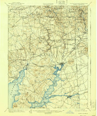
Loading map...1898 Map of Elkton
USGS Topo · Published 1898About this map
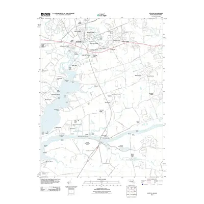
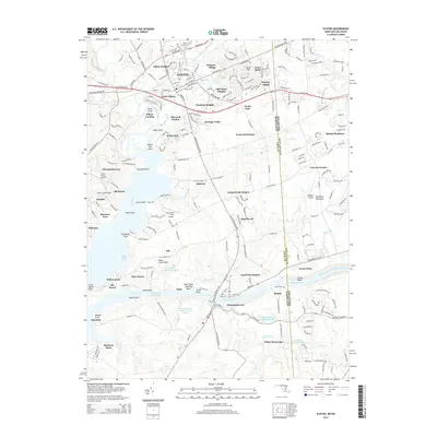
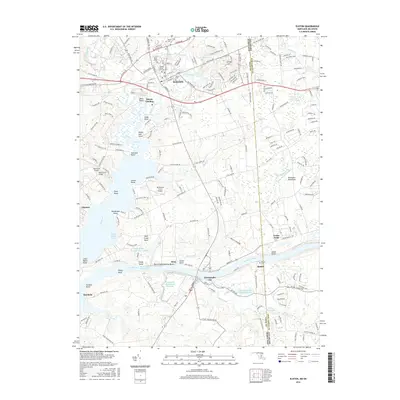
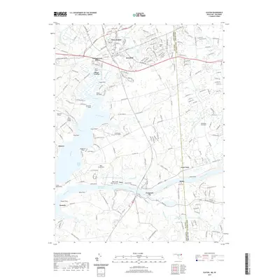
The Elkton Landing and the confluence of the Elk River and Northeast River serve as the focal point for this late 19th-century study of the Upper Chesapeake. Shipping and transport dominate the landscape, with the Chesapeake & Delaware Canal and its Pivot Bridge visible to the east, while the Town Pt. Wharf anchors the southern peninsula at Town Point Neck.
Find a feature on this map
98 named features on this map. Tap any name to fly to it.
Don’t see what you’re looking for? This feature index may not catch every label — zoom into the map to look around manually.
Map Details
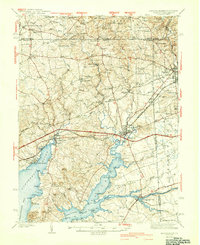
Date Portrayed1898
Date Published1898
PublisherU.S. Geological Survey
Map TypeTopographic
Scale1:62,500
Physical Dimensions16.5 x 20.2 inches
Editions of this 1898 Elkton Map
This is the sole edition of this map. No revisions or reprints were ever made.
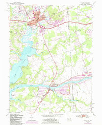
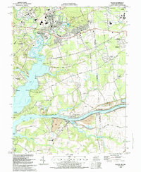
Historical Maps of Newark Through Time
11 maps found

Featured Locations
Source Details
SourceU.S. Geological Survey
CopyrightPublic Domain