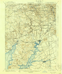
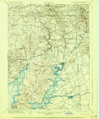
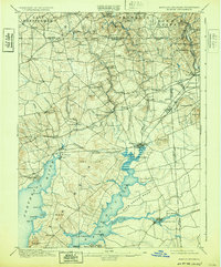
1900 Map of Elkton
USGS Topo · Published 1939About this map
The upper reaches of the Chesapeake Bay meet the industrial and agricultural landscape of Cecil County in this late 19th-century survey. Elkton serves as a major hub, situated where Big Elk Creek and Little Elk Creek converge. The southern portion of the map is dominated by the intricate waterways of the Elk River and the North East River, providing a clear view of the maritime corridors before mid-century development.
Find a feature on this map
93 named features on this map. Tap any name to fly to it.
Don’t see what you’re looking for? This feature index may not catch every label — zoom into the map to look around manually.
Map Details
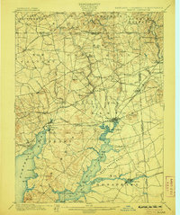
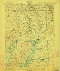
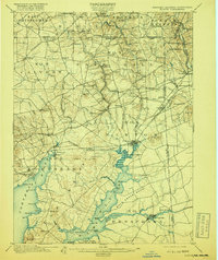
Editions of this 1900 Elkton Map
7 editions found
Other maps of this area

1898 · Elkton
USGS Topo · 1:62,500

1898 · Tolchester
USGS Topo · 1:125,000

1899 · Dover
USGS Topo · 1:125,000

1900 · Elkton
USGS Topo · 1:62,500

1900 · Cecilton
USGS Topo · 1:62,500

1900 · Havre De Grace
USGS Topo · 1:62,500

1900 · Betterton
USGS Topo · 1:62,500

1901 · West Chester
USGS Topo · 1:62,500

1903 · Tolchester
USGS Topo · 1:125,000

1904 · West Chester
USGS Topo · 1:62,500