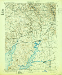
1900 Map of Elkton
USGS Topo · Published 1932About this map
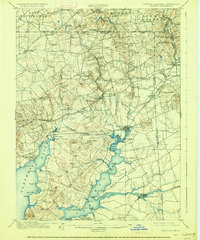
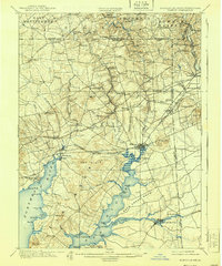
Elkton Landing serves as the focal point of this turn-of-the-century landscape, where the tides of the Elk River meet the industrial ambitions of the Eastern Shore. The map reveals a dense network of nineteenth-century transportation, from the massive Chesapeake & Delaware Canal in the south to the high-traffic rails of the Baltimore and Ohio R. R. and the Baltimore and Washington R. R.. These corridors fostered a string of small mill towns and crossroads such as Singerly, Childs, and Barksdale.
Find a feature on this map
99 named features on this map. Tap any name to fly to it.
Don’t see what you’re looking for? This feature index may not catch every label — zoom into the map to look around manually.
Map Details
Editions of this 1900 Elkton Map
7 editions found
Other maps of this area

1898 · Elkton
USGS Topo · 1:62,500

1898 · Tolchester
USGS Topo · 1:125,000

1899 · Dover
USGS Topo · 1:125,000

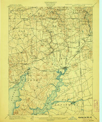
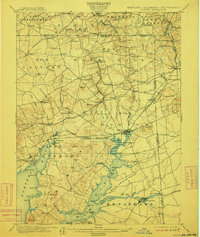
1900 · Elkton
USGS Topo · 1:62,500

1900 · Cecilton
USGS Topo · 1:62,500

1900 · Havre De Grace
USGS Topo · 1:62,500

1900 · Betterton
USGS Topo · 1:62,500

1901 · West Chester
USGS Topo · 1:62,500

1903 · Tolchester
USGS Topo · 1:125,000

1904 · West Chester
USGS Topo · 1:62,500