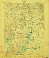
1900 Map of Elkton
USGS Topo · Published 1912About this map
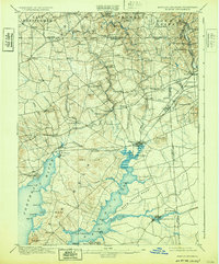
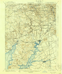
Elkton Landing sits at the head of navigation for the Elk River, serving as a critical junction for commerce where water transport met the rail lines of the Baltimore And Ohio R. R. and the Philadelphia Wilmington And Baltimore R. R. at the turn of the century. The landscape is defined by the convergence of the Big Elk Creek and Little Elk Creek, flowing south toward the Chesapeake Bay.
Find a feature on this map
104 named features on this map. Tap any name to fly to it.
Don’t see what you’re looking for? This feature index may not catch every label — zoom into the map to look around manually.
Map Details
Editions of this 1900 Elkton Map
7 editions found
Other maps of this area

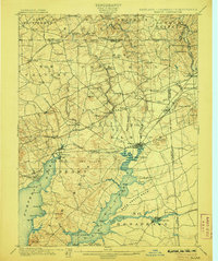
1898 · Elkton
USGS Topo · 1:62,500

1898 · Tolchester
USGS Topo · 1:125,000

1899 · Dover
USGS Topo · 1:125,000

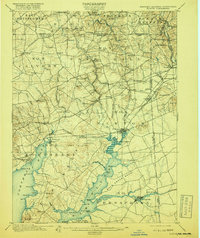
1900 · Elkton
USGS Topo · 1:62,500

1900 · Cecilton
USGS Topo · 1:62,500

1900 · Havre De Grace
USGS Topo · 1:62,500

1900 · Betterton
USGS Topo · 1:62,500

1901 · West Chester
USGS Topo · 1:62,500

1903 · Tolchester
USGS Topo · 1:125,000

1904 · West Chester
USGS Topo · 1:62,500