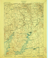
1900 Map of Elkton
USGS Topo · Published 1906About this map
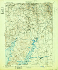
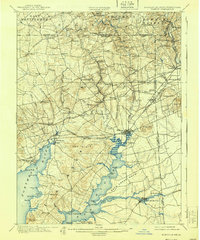
The Elkton quadrangle reveals a complex borderland at the meeting of Maryland, Pennsylvania, and Delaware. The landscape is defined by the convergence of maritime commerce and burgeoning rail power, centered on the Elk River and the northern reaches of the Chesapeake Bay. The industrial and transport importance of the era is evidenced by the Elkton Landing and the Chesapeake & Delaware Canal near the Pivot Bridge, while the Baltimore Turnpike and several major railroads including the Pennsylvania R. R. and Baltimore and Ohio R. R. underscore the region's role as a vital corridor. Inland, the map captures a dense network of farming hamlets and local post offices such as Chrome, McClellandville, and Cherry Hill, as well as prominent local elevations like Egg Hill and Hog Hills that rise above the intricate network of the Big Elk Creek and Little Elk Creek drainage basins.
Find a feature on this map
106 named features on this map. Tap any name to fly to it.
Don’t see what you’re looking for? This feature index may not catch every label — zoom into the map to look around manually.
Map Details
Editions of this 1900 Elkton Map
7 editions found
Other maps of this area

1898 · Elkton
USGS Topo · 1:62,500

1898 · Tolchester
USGS Topo · 1:125,000

1899 · Dover
USGS Topo · 1:125,000

1900 · Elkton
USGS Topo · 1:62,500

1900 · Cecilton
USGS Topo · 1:62,500

1900 · Havre De Grace
USGS Topo · 1:62,500

1900 · Betterton
USGS Topo · 1:62,500

1901 · West Chester
USGS Topo · 1:62,500

1903 · Tolchester
USGS Topo · 1:125,000

1904 · West Chester
USGS Topo · 1:62,500