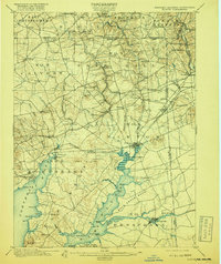
1900 Map of Elkton
USGS Topo · Published 1918About this map
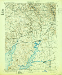
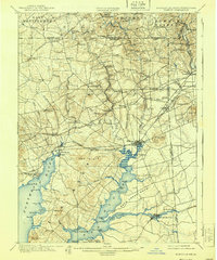
Elk River and its intricate tributaries dominate this turn-of-the-century landscape, where the maritime economy of the Chesapeake meets the industrial reach of the railroads. The map highlights a vital transportation corridor defined by the Philadelphia Wilmington and Baltimore RR and the Baltimore and Ohio RR, which serviced manufacturing hubs like Elk Mills and Singerly. The confluence of Big Elk Creek and Little Elk Creek at Elkton marks a significant historical head-of-navigation point, while the Chesapeake & Delaware Canal stretches across the southeastern portion of the sheet, featuring the notable Pivot Bridge. Numerous family-named settlements like Mc Clellandville, Lewisville, and Barksdale suggest a densely settled rural society. The terrain is marked by prominent elevations such as Egg Hill and Grays Hill, providing a topographic record of the Cecil County uplands before modern suburban development.
Find a feature on this map
103 named features on this map. Tap any name to fly to it.
Don’t see what you’re looking for? This feature index may not catch every label — zoom into the map to look around manually.
Map Details
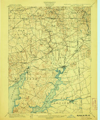
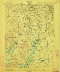
Editions of this 1900 Elkton Map
7 editions found
Other maps of this area

1898 · Elkton
USGS Topo · 1:62,500

1898 · Tolchester
USGS Topo · 1:125,000

1899 · Dover
USGS Topo · 1:125,000

1900 · Elkton
USGS Topo · 1:62,500

1900 · Cecilton
USGS Topo · 1:62,500

1900 · Havre De Grace
USGS Topo · 1:62,500

1900 · Betterton
USGS Topo · 1:62,500

1901 · West Chester
USGS Topo · 1:62,500

1903 · Tolchester
USGS Topo · 1:125,000

1904 · West Chester
USGS Topo · 1:62,500