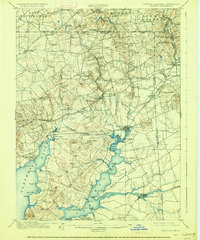
1900 Map of Elkton
USGS Topo · Published 1926About this map
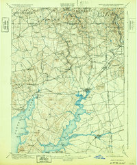
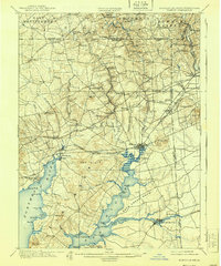
The Elk River and its intricate network of tributaries dominate this landscape at the head of the Chesapeake Bay, where Maryland, Pennsylvania, and Delaware meet. Centered on the hub of Elkton, the map reveals a late nineteenth-century economy transitioning from river-based transport to heavy rail. While Elkton Landing and the Town Wharf emphasize the maritime importance of the North East River, the presence of the Baltimore and Ohio Railroad and the Philadelphia Wilmington and Baltimore Railroad signals the era's industrial shift.
Find a feature on this map
92 named features on this map. Tap any name to fly to it.
Don’t see what you’re looking for? This feature index may not catch every label — zoom into the map to look around manually.
Map Details
Editions of this 1900 Elkton Map
7 editions found
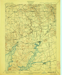
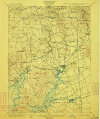
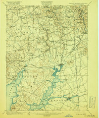
Other maps of this area

1898 · Elkton
USGS Topo · 1:62,500

1898 · Tolchester
USGS Topo · 1:125,000

1899 · Dover
USGS Topo · 1:125,000

1900 · Elkton
USGS Topo · 1:62,500

1900 · Cecilton
USGS Topo · 1:62,500

1900 · Havre De Grace
USGS Topo · 1:62,500

1900 · Betterton
USGS Topo · 1:62,500

1901 · West Chester
USGS Topo · 1:62,500

1903 · Tolchester
USGS Topo · 1:125,000

1904 · West Chester
USGS Topo · 1:62,500