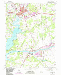
1953 Map of Elkton
USGS Topo · Published 1985About this map
Elkton serves as a critical junction where the northern reaches of the Elk River meet the engineering of the mid-20th century. This survey documents the landscape before significant late-century suburbanization, showing established neighborhoods like Hollingsworth Manor and West Meadow alongside vital community institutions such as Union Hospital and the George Washington Carver Sch. The map tracks the industrial and transportation infrastructure that defines the region, from the Amtrak line bisecting the county seat to the expansive Chesapeake and Delaware Canal in the south.
Find a feature on this map
61 named features on this map. Tap any name to fly to it.
Don’t see what you’re looking for? This feature index may not catch every label — zoom into the map to look around manually.
Map Details
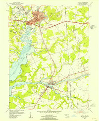
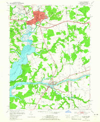
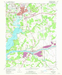
Editions of this 1953 Elkton Map
4 editions found
Other maps of this area

1898 · Elkton
USGS Topo · 1:62,500

1899 · Dover
USGS Topo · 1:125,000

1900 · Elkton
USGS Topo · 1:62,500

1900 · Cecilton
USGS Topo · 1:62,500

1904 · Wilmington
USGS Topo · 1:62,500

1906 · Dover
USGS Topo · 1:125,000

1906 · Wilmington
USGS Topo · 1:62,500

1917 · Elkton
USGS Topo · 1:62,500

1919 · Wilmington
USGS Topo · 1:62,500

1920 · Dover
USGS Topo · 1:125,000