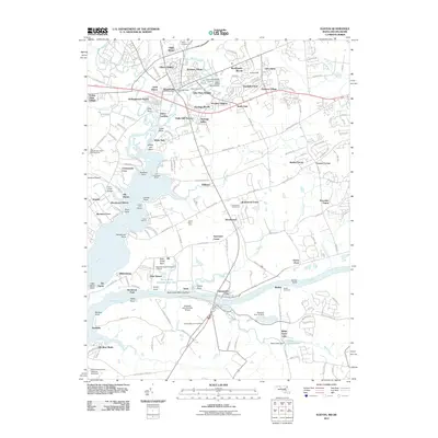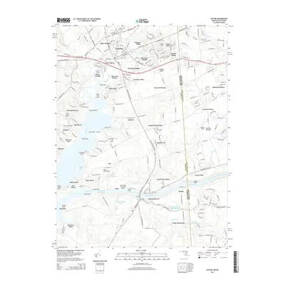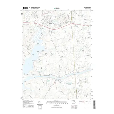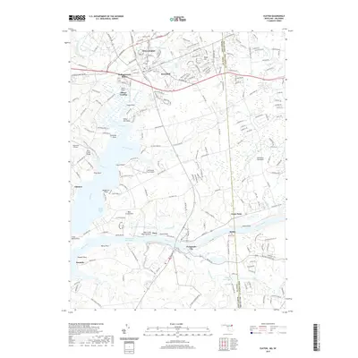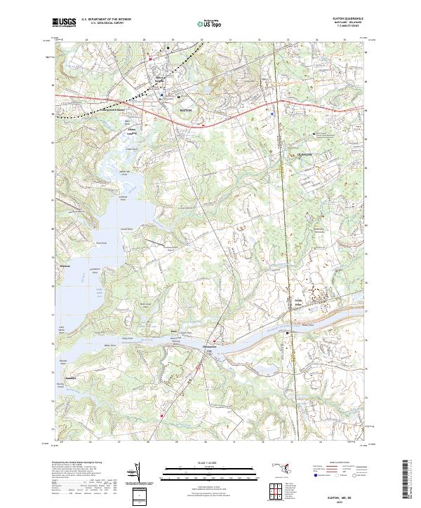
1992 Map of Elkton
USGS Topo · Published 1993About this map
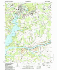
Elkton serves as the focal point of this late 20th-century survey, situated at the confluence of Big Elk Creek and Little Elk Creek. The landscape transitions from the urbanized centers of Elkton Heights and Thomson Estates into the navigable waters of the Elk River. Key maritime landmarks like the Old Frenchtown Wharf and Elkton Landing underscore the region's historic dependence on water-based transit. To the south, the Chesapeake and Delaware Canal cuts a massive engineered path through the terrain near Chesapeake City, a vital artery for mid-Atlantic shipping.
Find a feature on this map
116 named features on this map. Tap any name to fly to it.
Don’t see what you’re looking for? This feature index may not catch every label — zoom into the map to look around manually.
Map Details
Editions of this 1992 Elkton Map
This is the sole edition of this map. No revisions or reprints were ever made.
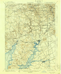
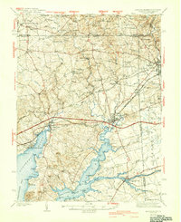
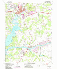
Historical Maps of Elkton Through Time
11 maps found