
Loading...
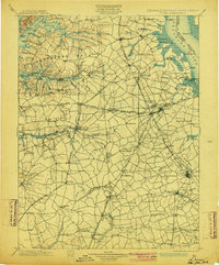
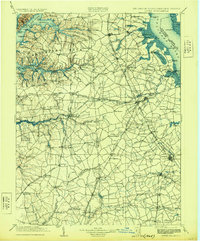
Loading map...1920 Map of Dover
USGS Topo · Published 1920About this map
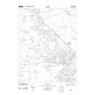
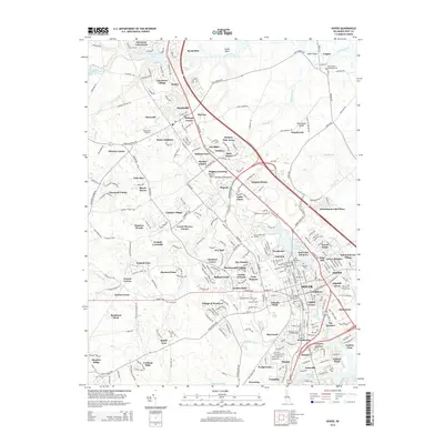
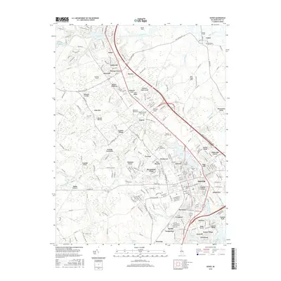
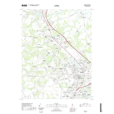
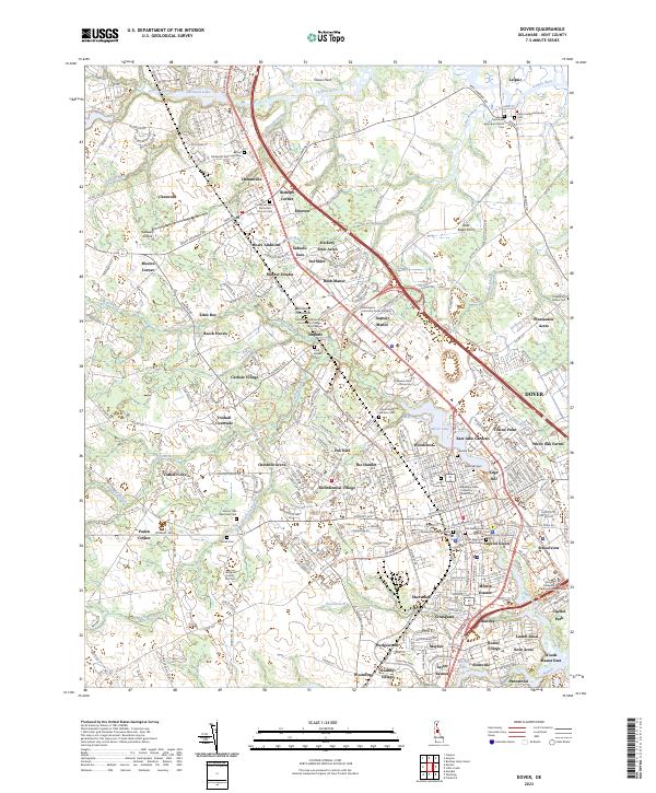
The boundary between Maryland and Delaware is traced by the historic Mason and Dixon Line, anchoring a landscape defined by tidewater inlets and early rail expansion. Compiled by the Corps of Engineers, this 1920 survey illustrates a region where maritime commerce at Wilson Point Wharf and Smyrna Ldg. met the growing influence of the Delaware R.R. and the Baltimore & Philadelphia R.R.
Find a feature on this map
165 named features on this map. Tap any name to fly to it.
Don’t see what you’re looking for? This feature index may not catch every label — zoom into the map to look around manually.
Map Details
Date Portrayed1920
Date Published1920
PublisherU.S. Geological Survey
Map TypeTopographic
Scale1:125,000
Physical Dimensions17.21 x 22.1 inches
Editions of this 1920 Dover Map
This is the sole edition of this map. No revisions or reprints were ever made.
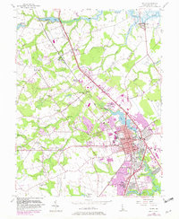
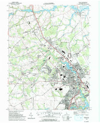
Historical Maps of Dover Through Time
11 maps found

Featured Locations
Source Details
SourceU.S. Geological Survey
CopyrightPublic Domain