
1899 Map of Vineland
USGS Topo · Published 1899About this map
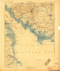
The maritime and agricultural rhythm of South Jersey is on full display in the late nineteenth century, where the Cohansey River and Maurice River define the commercial landscape. Extensive coastal wetlands like The Glades and various necks of land, such as Bacons Neck and Sayres Neck, show a terrain deeply integrated with the water. The regional economy is anchored by established centers like Bridgeton and Millville, while the southern reaches reveal the specialized oyster and fishing hubs of Port Norris and Bivalve.
Find a feature on this map
156 named features on this map. Tap any name to fly to it.
Don’t see what you’re looking for? This feature index may not catch every label — zoom into the map to look around manually.
Map Details
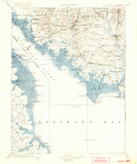
Editions of this 1899 Vineland Map
3 editions found
Other maps of this area

1888 · Cape May
USGS Topo · 1:62,500

1888 · Dennisville
USGS Topo · 1:62,500

1890 · Hammonton
USGS Topo · 1:62,500

1890 · Salem
USGS Topo · 1:62,500

1890 · Tuckahoe
USGS Topo · 1:62,500

1890 · Maurice Cove
USGS Topo · 1:62,500

1890 · Bay Side
USGS Topo · 1:62,500

1890 · Bridgeton
USGS Topo · 1:62,500

1890 · Glassboro
USGS Topo · 1:62,500

1891 · Maurice Cove
USGS Topo · 1:62,500