
1890 Map of Maurice Cove
USGS Topo · Published 1890About this map
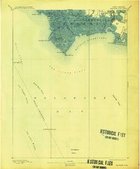
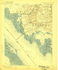
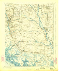
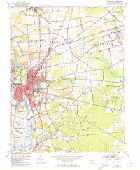
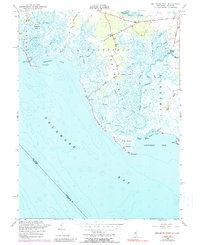
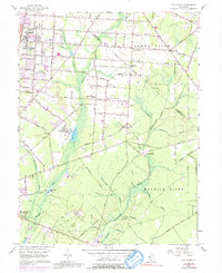
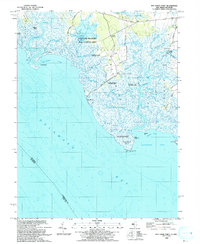
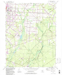
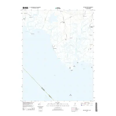
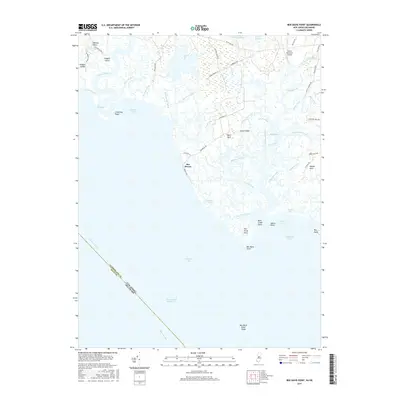
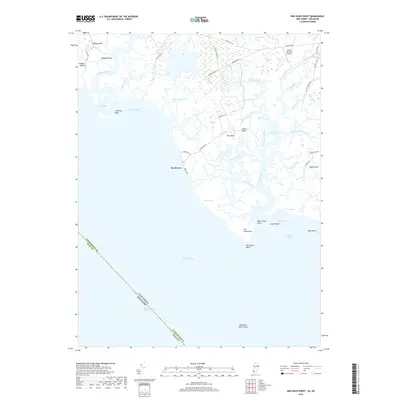
Port Norris stands as the primary hub of activity along the northern shore of Maurice River Cove in this late nineteenth-century survey. The landscape is defined by the intricate tidal network of the Downe and Commercial townships, where the Maurice River meets the Delaware Bay. The presence of the Maurice River Branch (Central R.R. of N.J.) and the West Jersey R.R. (Maurice River Branch) underscores the importance of the maritime economy, connecting these coastal wetlands to broader inland markets. Navigation throughout the treacherous Main Channel is guided by a series of critical offshore landmarks, including the Egg Island Light and Fourteen Foot Bank Light. Between the mainland and the deep water, the map reveals a vast expanse of shoals and points, such as Dead Man's Shoal and Miah Maul Shoal, which reflect the constant shifting of the New Jersey coastline during this era.
Find a feature on this map
35 named features on this map. Tap any name to fly to it.
Don’t see what you’re looking for? This feature index may not catch every label — zoom into the map to look around manually.
Map Details
Editions of this 1890 Maurice Cove Map
This is the sole edition of this map. No revisions or reprints were ever made.
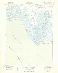
Historical Maps of Maurice River Township Through Time
29 maps found

1890 Bay Side
Cumberland County, NJ

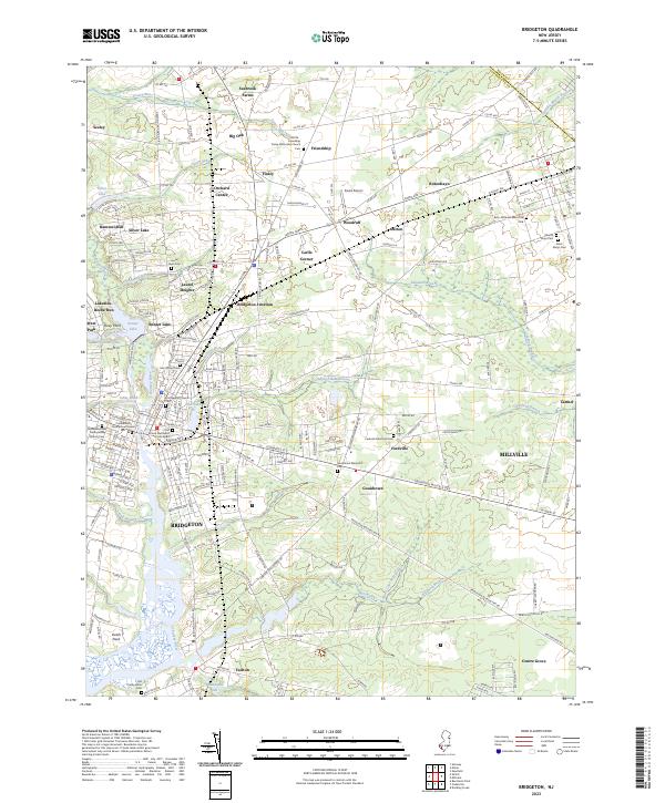
1890 Bridgeton
Cumberland County, NJ
1890 Maurice Cove
Cumberland County, NJ
1891 Maurice Cove
Cumberland County, NJ
1894 Bay Side
Cumberland County, NJ
1894 Bridgeton
Cumberland County, NJ

1942 Bridgeton
Cumberland County, NJ

1948 Bridgeton
Cumberland County, NJ
1949 Ben Davis Point
Cumberland County, NJ
1953 Bridgeton
Cumberland County, NJ
1956 Ben Davis Point
Cumberland County, NJ
1956 Five Points
Cumberland County, NJ
1993 Ben Davis Point
Cumberland County, NJ
1994 Five Points
Cumberland County, NJ
2011 Ben Davis Point
Cumberland County, NJ
2011 Bridgeton
Cumberland County, NJ
2011 Five Points
Cumberland County, NJ
2014 Ben Davis Point
Cumberland County, NJ
2014 Bridgeton
Cumberland County, NJ
2014 Five Points
Cumberland County, NJ
2016 Bridgeton
Cumberland County, NJ
2016 Five Points
Cumberland County, NJ
2017 Ben Davis Point
Cumberland County, NJ
2019 Ben Davis Point
Cumberland County, NJ
2019 Bridgeton
Cumberland County, NJ
2019 Five Points
Cumberland County, NJ
2023 Ben Davis Point
Cumberland County, NJ
2023 Bridgeton
Cumberland County, NJ
2023 Five Points
Cumberland County, NJ
Featured Locations
- Maurice River Township, NJ
- Commercial Township, NJ
- Downe Township, NJ
- Bivalve, Commercial Township
- Port Norris, Commercial Township