
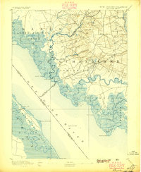
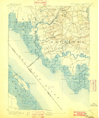
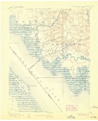
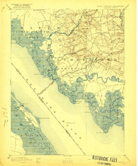
1894 Map of Bay Side
USGS Topo · Published 1894About this map
Cohansey Creek winds through the salt marshes of Cumberland County, serving as a vital maritime artery for nineteenth-century commerce. Near Laning Wharf, the river supports agricultural centers like Greenwich and Buena Vista, while the interior landscape is defined by the milling economy at Maskell Mill and Sheppard Mills. The intricate network of tidal guts and necks, including Bacon Neck and Back Neck, illustrates the complex geography of the Delaware Bayshore before modern drainage changed the coastal profile.
Find a feature on this map
82 named features on this map. Tap any name to fly to it.
Don’t see what you’re looking for? This feature index may not catch every label — zoom into the map to look around manually.
Map Details
Editions of this 1894 Bay Side Map
5 editions found
Other maps of this area

1890 · Salem
USGS Topo · 1:62,500

1890 · Maurice Cove
USGS Topo · 1:62,500

1890 · Bay Side
USGS Topo · 1:62,500

1890 · Bridgeton
USGS Topo · 1:62,500

1890 · Glassboro
USGS Topo · 1:62,500

1891 · Maurice Cove
USGS Topo · 1:62,500

1894 · Bridgeton
USGS Topo · 1:62,500

1898 · Salem
USGS Topo · 1:62,500

1898 · Glassboro
USGS Topo · 1:62,500

1899 · Vineland
USGS Topo · 1:125,000