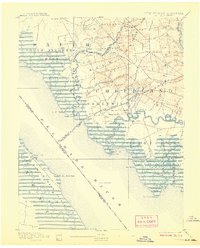
1894 Map of Bay Side
USGS Topo · Published 1907About this map
Cohansey Creek winds through the salt marshes and agricultural lands of Cumberland County in this late 19th-century survey. The maritime character of the region is defined by prominent navigational markers such as Ship John Light and the Cohansey Light Old Light, which served the active shipping lanes of the Delaware River. Inland, the landscape transitions from the wetlands of Bacon Neck and Stathem Neck to established farming communities and milling sites like Sheppard Mills and Maskell Mill.
Find a feature on this map
81 named features on this map. Tap any name to fly to it.
Don’t see what you’re looking for? This feature index may not catch every label — zoom into the map to look around manually.
Map Details
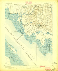
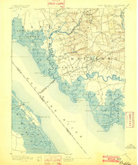
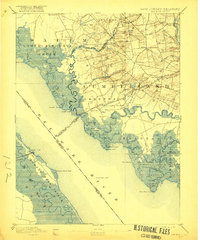
Editions of this 1894 Bay Side Map
5 editions found
Other maps of this area

1890 · Salem
USGS Topo · 1:62,500

1890 · Maurice Cove
USGS Topo · 1:62,500

1890 · Bay Side
USGS Topo · 1:62,500

1890 · Bridgeton
USGS Topo · 1:62,500

1890 · Glassboro
USGS Topo · 1:62,500

1891 · Maurice Cove
USGS Topo · 1:62,500

1894 · Bay Side
USGS Topo · 1:62,500

1894 · Bridgeton
USGS Topo · 1:62,500

1898 · Salem
USGS Topo · 1:62,500

1898 · Glassboro
USGS Topo · 1:62,500