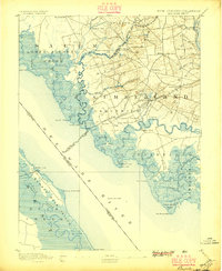
1894 Map of Bay Side
USGS Topo · Published 1896About this map
Cohansey Creek defines the maritime character of this 1894 survey, winding through the tidal marshes of Cumberland County where the Southern Branch of N. J. C. R. R. connected the interior to the coast. The shoreline is punctuated by navigation landmarks such as the Cohansey Light Old Light and the Ship John Light out in the Delaware River. Inland, the landscape transition to agriculture and small industry is evidenced by Sheppard Mills and Maskell Mill. Settlements like Greenwich, Shiloh, and Roadstown appear as established hubs, while the coast is dotted with seasonal or specialized sites like Sea Breeze and Laning Wharf. This map details the intricate network of tidal runs and necks, including Bacon Neck and Back Neck, that shaped South Jersey's early river-based economy.
Find a feature on this map
81 named features on this map. Tap any name to fly to it.
Don’t see what you’re looking for? This feature index may not catch every label — zoom into the map to look around manually.
Map Details
Editions of this 1894 Bay Side Map
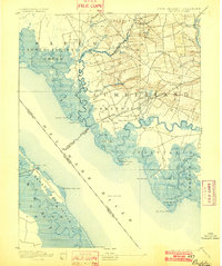
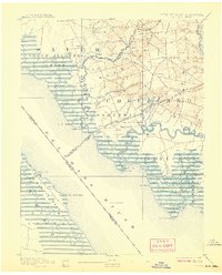
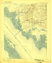
5 editions found
Other maps of this area

1890 · Salem
USGS Topo · 1:62,500

1890 · Maurice Cove
USGS Topo · 1:62,500

1890 · Bay Side
USGS Topo · 1:62,500

1890 · Bridgeton
USGS Topo · 1:62,500

1890 · Glassboro
USGS Topo · 1:62,500

1891 · Maurice Cove
USGS Topo · 1:62,500

1894 · Bay Side
USGS Topo · 1:62,500

1894 · Bridgeton
USGS Topo · 1:62,500

1898 · Salem
USGS Topo · 1:62,500

1898 · Glassboro
USGS Topo · 1:62,500