
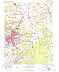
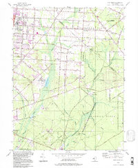
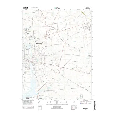
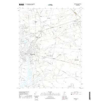
1890 Map of Bridgeton
USGS Topo · Published 1890About this map
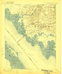
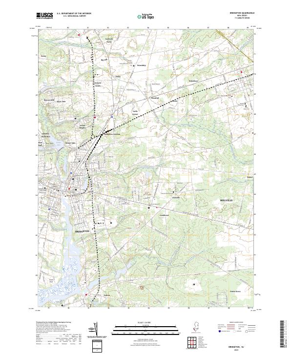
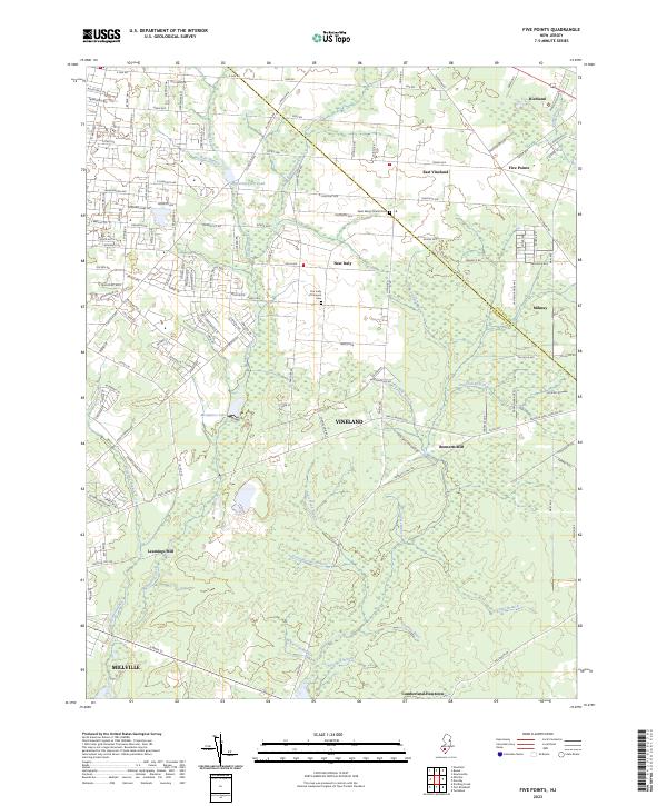
Bridgeton and Millville serve as the primary hubs of industry and commerce in late nineteenth-century southern New Jersey, connected by an extensive network of rail lines including the West Jersey Railroad and the Central Railroad of New Jersey. The landscape transitions from the urban grids of Vineland and South Vineland in the northeast to the tidal marshes and intricate waterways of Cumberland County. Along the Maurice River, settlements like Buckshutem and Manantico signify the era's reliance on river-and-rail logistics. To the southwest, the environment shifts toward the coast with The Glades and Dear Swamp dominating the terrain near the Delaware River. Genealogists may find value in tracing the early footprints of small communities like Gouldtown, Carmel, and Fairton, or identifying landings such as Findell's Landing and Newport Landing.
Find a feature on this map
78 named features on this map. Tap any name to fly to it.
Don’t see what you’re looking for? This feature index may not catch every label — zoom into the map to look around manually.
Map Details
Editions of this 1890 Bridgeton Map
This is the sole edition of this map. No revisions or reprints were ever made.
Historical Maps of Vineland Through Time
29 maps found

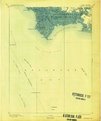
1890 Bay Side
Cumberland County, NJ
1890 Bridgeton
Cumberland County, NJ

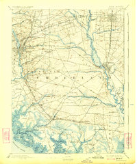
1890 Maurice Cove
Cumberland County, NJ
1891 Maurice Cove
Cumberland County, NJ
1894 Bay Side
Cumberland County, NJ
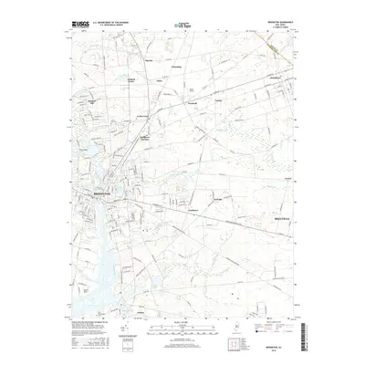
1894 Bridgeton
Cumberland County, NJ

1942 Bridgeton
Cumberland County, NJ

1948 Bridgeton
Cumberland County, NJ
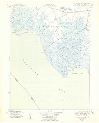
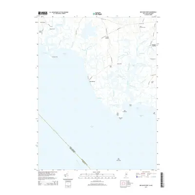
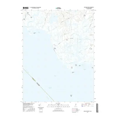
1949 Ben Davis Point
Cumberland County, NJ
1953 Bridgeton
Cumberland County, NJ
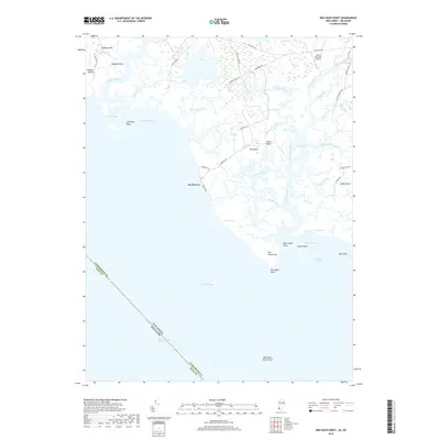
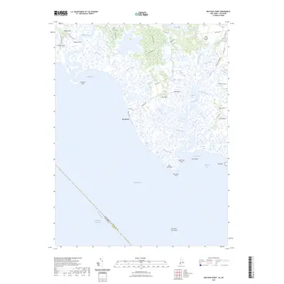
1956 Ben Davis Point
Cumberland County, NJ
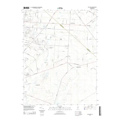
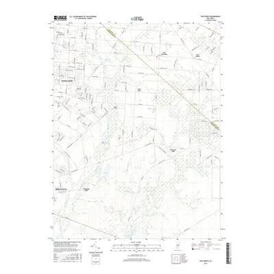
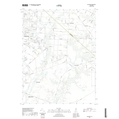
1956 Five Points
Cumberland County, NJ
1993 Ben Davis Point
Cumberland County, NJ
1994 Five Points
Cumberland County, NJ
2011 Ben Davis Point
Cumberland County, NJ
2011 Bridgeton
Cumberland County, NJ
2011 Five Points
Cumberland County, NJ
2014 Ben Davis Point
Cumberland County, NJ
2014 Bridgeton
Cumberland County, NJ
2014 Five Points
Cumberland County, NJ
2016 Bridgeton
Cumberland County, NJ
2016 Five Points
Cumberland County, NJ
2017 Ben Davis Point
Cumberland County, NJ
2019 Ben Davis Point
Cumberland County, NJ
2019 Bridgeton
Cumberland County, NJ
2019 Five Points
Cumberland County, NJ
2023 Ben Davis Point
Cumberland County, NJ
2023 Bridgeton
Cumberland County, NJ
2023 Five Points
Cumberland County, NJ