
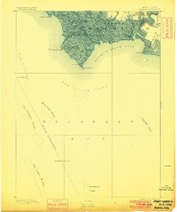
1891 Map of Maurice Cove
USGS Topo · Published 1891About this map
Port Norris stands as the primary hub of activity in this coastal Cumberland County landscape, situated where the Maurice River Branch Central R.R. of N.J. and the West Jersey R.R. (Maurice River Branch) converge to serve the maritime economy. The intricate network of tidal waterways, including Dividing Creek and Hansey Creek, defines the low-lying marshlands of Downe and Commercial townships.
Find a feature on this map
36 named features on this map. Tap any name to fly to it.
Don’t see what you’re looking for? This feature index may not catch every label — zoom into the map to look around manually.
Map Details
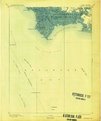
Editions of this 1891 Maurice Cove Map
3 editions found
Other maps of this area

1888 · Cape May
USGS Topo · 1:62,500

1888 · Dennisville
USGS Topo · 1:62,500

1890 · Tuckahoe
USGS Topo · 1:62,500

1890 · Maurice Cove
USGS Topo · 1:62,500

1890 · Bay Side
USGS Topo · 1:62,500

1890 · Bridgeton
USGS Topo · 1:62,500

1893 · Cape May
USGS Topo · 1:62,500

1893 · Tuckahoe
USGS Topo · 1:62,500

1894 · Dennisville
USGS Topo · 1:62,500

1894 · Bay Side
USGS Topo · 1:62,500
Featured Places
- Maurice River Township, NJ
- Commercial Township, NJ
- Downe Township, NJ
- Port Norris, Commercial Township
- Bivalve, Commercial Township