
1894 Map of Bridgeton
USGS Topo · Published 1894About this map
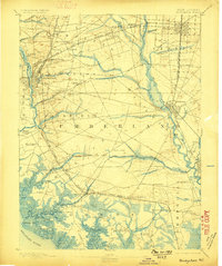
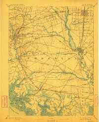
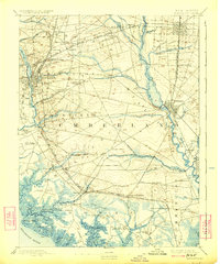
The Maurice River and Cohansey Creek anchor the economic and geographic life of South Jersey in this late 19th-century survey. The landscape is defined by the convergence of rail lines and water-borne commerce, where the Central Railroad of New Jersey and the West Jersey Railroad connect established centers like Bridgeton and Millville to the agricultural interior. Along the tidal marshes and necks of the Delaware River, historic landings such as Tindell Landing and Newport Landing suggest a reliance on the river for transporting goods before the full dominance of the steam engine. The interior reveals a dense network of smaller settlements and junctions, including Rosenhayn, Gouldtown, and Carmel, reflecting the varied community settlements and early industrial developments of Cumberland County. This document captures the region just as the transition from river landings to rail depots was reshaping the local geography.
Find a feature on this map
80 named features on this map. Tap any name to fly to it.
Don’t see what you’re looking for? This feature index may not catch every label — zoom into the map to look around manually.
Map Details
Editions of this 1894 Bridgeton Map
4 editions found
Other maps of this area

1888 · Dennisville
USGS Topo · 1:62,500

1890 · Hammonton
USGS Topo · 1:62,500

1890 · Salem
USGS Topo · 1:62,500

1890 · Tuckahoe
USGS Topo · 1:62,500

1890 · Maurice Cove
USGS Topo · 1:62,500

1890 · Bay Side
USGS Topo · 1:62,500

1890 · Bridgeton
USGS Topo · 1:62,500

1890 · Glassboro
USGS Topo · 1:62,500

1891 · Maurice Cove
USGS Topo · 1:62,500

1893 · Tuckahoe
USGS Topo · 1:62,500