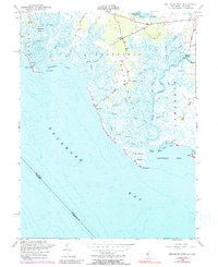
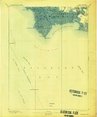
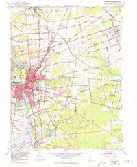
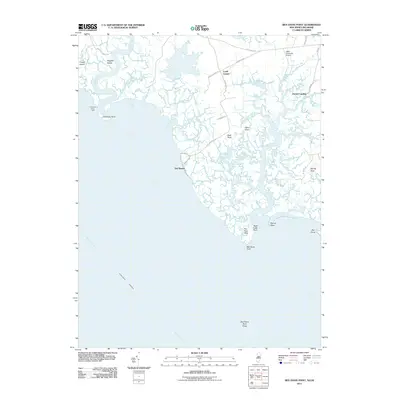
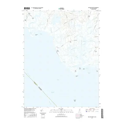
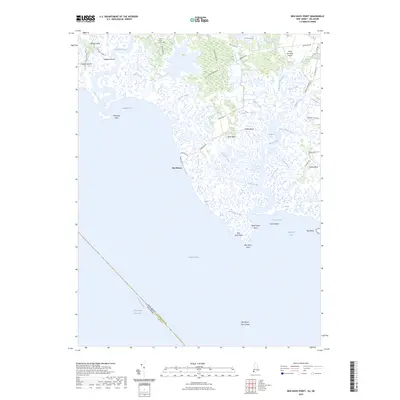
1956 Map of Ben Davis Point
USGS Topo · Published 1990About this map
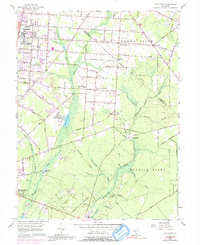
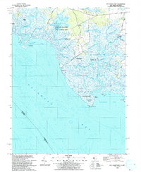
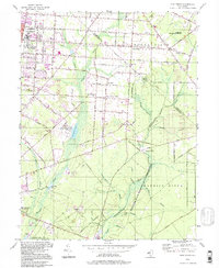
Back Neck and the surrounding coastal marshlands of Fairfield define this mid-century survey of the Delaware Bay shoreline. The landscape is dominated by a complex network of tidal guts and creeks, including Lawrence Creek and the meandering Cohansey River, which separates Bacons Neck from the islands to the west. Small coastal outposts like Sea Breeze and Husted Landing provide rare points of human settlement amidst the sprawling Green Swamp.
Find a feature on this map
47 named features on this map. Tap any name to fly to it.
Don’t see what you’re looking for? This feature index may not catch every label — zoom into the map to look around manually.
Map Details
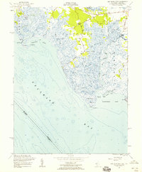
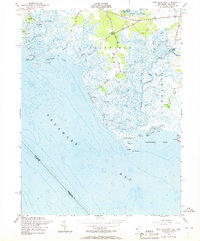
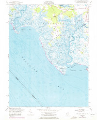
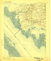
Editions of this 1956 Ben Davis Point Map
4 editions found
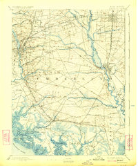
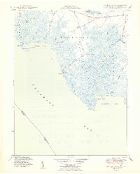
Historical Maps of Fairfield Township Through Time
29 maps found

1890 Bay Side
Cumberland County, NJ

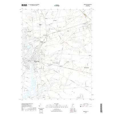
1890 Bridgeton
Cumberland County, NJ

1890 Maurice Cove
Cumberland County, NJ
1891 Maurice Cove
Cumberland County, NJ
1894 Bay Side
Cumberland County, NJ
1894 Bridgeton
Cumberland County, NJ

1942 Bridgeton
Cumberland County, NJ

1948 Bridgeton
Cumberland County, NJ
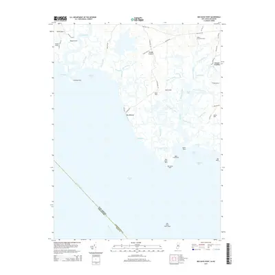
1949 Ben Davis Point
Cumberland County, NJ
1953 Bridgeton
Cumberland County, NJ
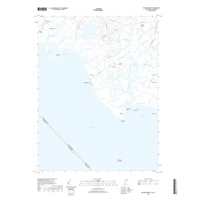
1956 Ben Davis Point
Cumberland County, NJ
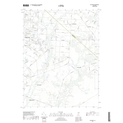
1956 Five Points
Cumberland County, NJ
1993 Ben Davis Point
Cumberland County, NJ
1994 Five Points
Cumberland County, NJ
2011 Ben Davis Point
Cumberland County, NJ
2011 Bridgeton
Cumberland County, NJ
2011 Five Points
Cumberland County, NJ
2014 Ben Davis Point
Cumberland County, NJ
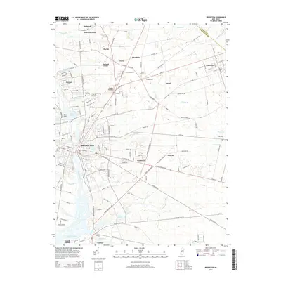
2014 Bridgeton
Cumberland County, NJ
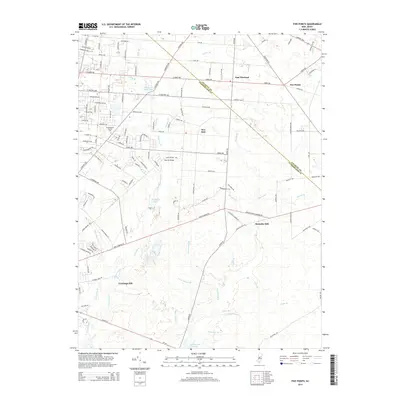
2014 Five Points
Cumberland County, NJ
2016 Bridgeton
Cumberland County, NJ
2016 Five Points
Cumberland County, NJ
2017 Ben Davis Point
Cumberland County, NJ
2019 Ben Davis Point
Cumberland County, NJ
2019 Bridgeton
Cumberland County, NJ
2019 Five Points
Cumberland County, NJ
2023 Ben Davis Point
Cumberland County, NJ
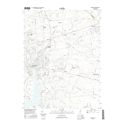
2023 Bridgeton
Cumberland County, NJ
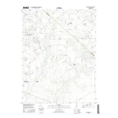
2023 Five Points
Cumberland County, NJ
Featured Locations
- Fairfield Township, NJ
- Greenwich Township, NJ
- Hopewell Township, NJ
- Lawrence Township, NJ
- Loyds Corner, Fairfield Township