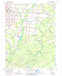
1956 Map of Five Points
USGS Topo · Published 1992About this map
The agricultural and industrial sprawl of south Jersey's Pine Barrens is visible in this mid-century survey of the Vineland and Millville periphery. Settled patterns of immigrant farming communities are evidenced by names like New Italy and East Vineland, with social centers such as Our Lady of Pompeii Ch and St Marys Ch serving the rural population. The landscape is heavily shaped by the silica industry, with numerous Gravel Pits dotting the terrain near the Maurice River and Manantico Creek.
Find a feature on this map
67 named features on this map. Tap any name to fly to it.
Don’t see what you’re looking for? This feature index may not catch every label — zoom into the map to look around manually.
Map Details
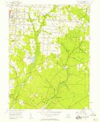
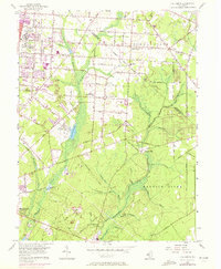
Editions of this 1956 Five Points Map
3 editions found
Other maps of this area

1890 · Hammonton
USGS Topo · 1:62,500

1890 · Tuckahoe
USGS Topo · 1:62,500

1890 · Bridgeton
USGS Topo · 1:62,500

1890 · Glassboro
USGS Topo · 1:62,500

1893 · Tuckahoe
USGS Topo · 1:62,500

1894 · Hammonton
USGS Topo · 1:62,500

1894 · Bridgeton
USGS Topo · 1:62,500

1898 · Glassboro
USGS Topo · 1:62,500

1898 · Hammonton
USGS Topo · 1:62,500

1899 · Vineland
USGS Topo · 1:125,000