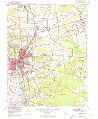
1953 Map of Bridgeton
USGS Topo · Published 1972About this map
The Cohansey River carves a path through this New Jersey landscape, serving as the industrial and civic anchor for the city of Bridgeton. During the mid-20th century, the area shows a dense network of rail infrastructure, with the Central Railroad of New Jersey and the Pennsylvania-Reading Seashore Lines converging at Bridgeton Junction. This rail presence supported a mix of agriculture and light industry, evidenced by features like Rammel Mill and various gravel pits scattered across Upper Deerfield.
Find a feature on this map
68 named features on this map. Tap any name to fly to it.
Don’t see what you’re looking for? This feature index may not catch every label — zoom into the map to look around manually.
Map Details
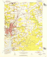
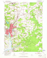
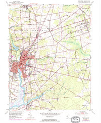
Editions of this 1953 Bridgeton Map
4 editions found
Other maps of this area

1890 · Salem
USGS Topo · 1:62,500

1890 · Bay Side
USGS Topo · 1:62,500

1890 · Bridgeton
USGS Topo · 1:62,500

1890 · Glassboro
USGS Topo · 1:62,500

1894 · Bay Side
USGS Topo · 1:62,500

1894 · Bridgeton
USGS Topo · 1:62,500

1898 · Salem
USGS Topo · 1:62,500

1898 · Glassboro
USGS Topo · 1:62,500

1899 · Vineland
USGS Topo · 1:125,000

1901 · Camden
USGS Topo · 1:125,000