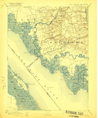
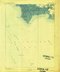
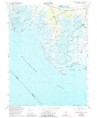
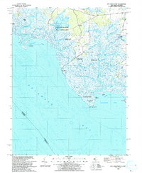
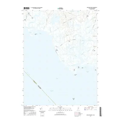
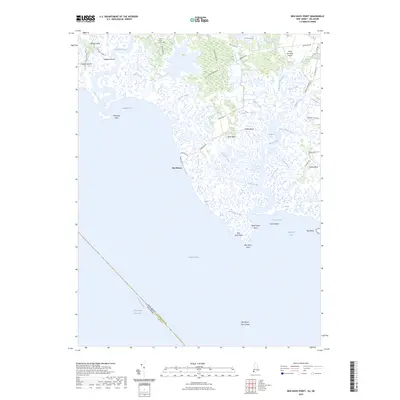
1894 Map of Bay Side
USGS Topo · Published 1921About this map
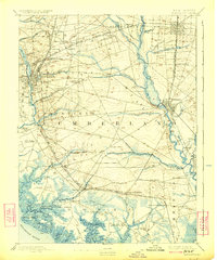
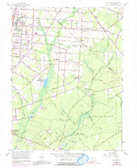
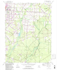
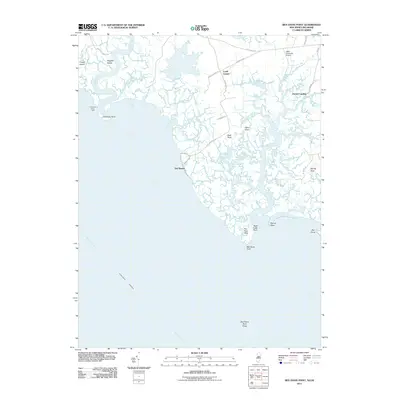
Greenwich and the salt marshes of the Delaware Bay shoreline dominate this late nineteenth-century survey, revealing a landscape defined by tidal creeks and early colonial settlements. The interior of Cumberland and Salem counties shows a network of small agricultural villages such as Shiloh and Roadstown, connected by a web of roads that avoid the low-lying wetlands. The maritime economy is evident through features like Laning Wharf and the Cohansey Light Old Light, which served the shipping lanes of the Delaware River.
Find a feature on this map
68 named features on this map. Tap any name to fly to it.
Don’t see what you’re looking for? This feature index may not catch every label — zoom into the map to look around manually.
Map Details
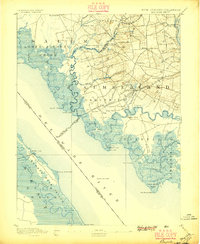
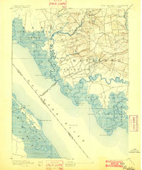
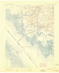
Editions of this 1894 Bay Side Map
5 editions found

Historical Maps of Bridgeton Through Time
29 maps found

1890 Bay Side
Cumberland County, NJ

1890 Bridgeton
Cumberland County, NJ

1890 Maurice Cove
Cumberland County, NJ
1891 Maurice Cove
Cumberland County, NJ
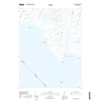
1894 Bay Side
Cumberland County, NJ
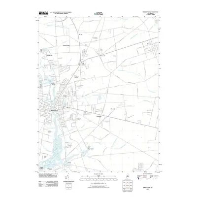
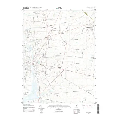
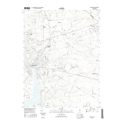
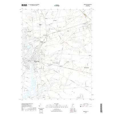
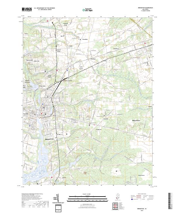
1894 Bridgeton
Cumberland County, NJ

1942 Bridgeton
Cumberland County, NJ

1948 Bridgeton
Cumberland County, NJ
1949 Ben Davis Point
Cumberland County, NJ
1953 Bridgeton
Cumberland County, NJ
1956 Ben Davis Point
Cumberland County, NJ
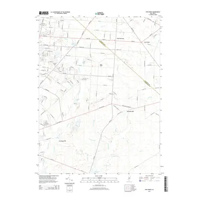
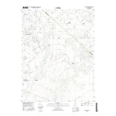
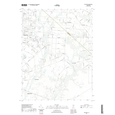
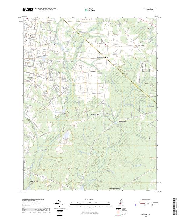
1956 Five Points
Cumberland County, NJ
1993 Ben Davis Point
Cumberland County, NJ
1994 Five Points
Cumberland County, NJ
2011 Ben Davis Point
Cumberland County, NJ
2011 Bridgeton
Cumberland County, NJ
2011 Five Points
Cumberland County, NJ
2014 Ben Davis Point
Cumberland County, NJ
2014 Bridgeton
Cumberland County, NJ
2014 Five Points
Cumberland County, NJ
2016 Bridgeton
Cumberland County, NJ
2016 Five Points
Cumberland County, NJ
2017 Ben Davis Point
Cumberland County, NJ
2019 Ben Davis Point
Cumberland County, NJ
2019 Bridgeton
Cumberland County, NJ
2019 Five Points
Cumberland County, NJ
2023 Ben Davis Point
Cumberland County, NJ
2023 Bridgeton
Cumberland County, NJ
2023 Five Points
Cumberland County, NJ