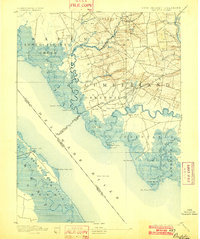
1894 Map of Bay Side
USGS Topo · Published 1902About this map
The salt marshes and tidal estuaries of the lower Delaware River dominate this late 19th-century survey. Cohansey Creek snakes through the landscape past Greenwich, where Laning Wharf once served maritime trade. The interior coastal plain is dotted with small agricultural settlements like Shiloh, Roadstown, and Jericho, connected by the early rail lines of the Southern New Jersey R. R. and the N. J. S. R. R.. Navigation remains a central theme for the region, marked by the Cohansey Light and the offshore Ship John Light.
Find a feature on this map
83 named features on this map. Tap any name to fly to it.
Don’t see what you’re looking for? This feature index may not catch every label — zoom into the map to look around manually.
Map Details
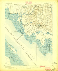
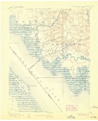
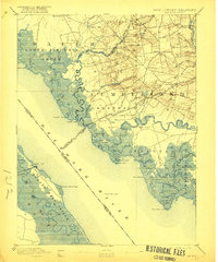
Editions of this 1894 Bay Side Map
5 editions found
Other maps of this area

1890 · Salem
USGS Topo · 1:62,500

1890 · Maurice Cove
USGS Topo · 1:62,500

1890 · Bay Side
USGS Topo · 1:62,500

1890 · Bridgeton
USGS Topo · 1:62,500

1890 · Glassboro
USGS Topo · 1:62,500

1891 · Maurice Cove
USGS Topo · 1:62,500

1894 · Bay Side
USGS Topo · 1:62,500

1894 · Bridgeton
USGS Topo · 1:62,500

1898 · Salem
USGS Topo · 1:62,500

1898 · Glassboro
USGS Topo · 1:62,500