
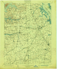
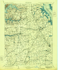
1906 Map of Dover
USGS Topo · Published 1906About this map
Dover and the surrounding agricultural hinterlands of central Delaware and the Eastern Shore of Maryland are documented in this detailed turn-of-the-century topographic study. The landscape is defined by its reliance on water-and-rail transport, with numerous landings and wharves such as Wilson Point Wharf and Deakyneville Ldg. serving the commerce of the Sassafras River and the St. Jones River. The map captures a pivotal era when the Delaware R. R. and the Philadelphia Baltimore and Washington R. R. provided vital connections for towns like Middletown, Smyrna, and Clayton. Maritime navigation is highlighted by St. Augustine Light and Bombay Hook Light along the Delaware River. Notable for local historians are the small crossroads settlements and milling sites, including Bohemia Mills and Seven Hickories, which illustrate the early industrial and social network of Kent and New Castle counties before modern highway expansion.
Find a feature on this map
183 named features on this map. Tap any name to fly to it.
Don’t see what you’re looking for? This feature index may not catch every label — zoom into the map to look around manually.
Map Details
Editions of this 1906 Dover Map
3 editions found
Other maps of this area

1890 · Salem
USGS Topo · 1:62,500

1890 · Bay Side
USGS Topo · 1:62,500

1894 · Bay Side
USGS Topo · 1:62,500

1898 · Choptank
USGS Topo · 1:125,000

1898 · Salem
USGS Topo · 1:62,500

1898 · Elkton
USGS Topo · 1:62,500

1898 · Tolchester
USGS Topo · 1:125,000

1899 · Vineland
USGS Topo · 1:125,000

1899 · Dover
USGS Topo · 1:125,000

1900 · Elkton
USGS Topo · 1:62,500