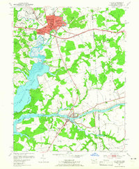
1953 Map of Elkton
USGS Topo · Published 1965About this map
The Chesapeake and Delaware Canal anchors the southern portion of this landscape, serving as a vital maritime link between the Delaware River and the Chesapeake Bay. This survey highlights the regional importance of Elkton as a transportation and civic hub, featuring the Courthouse, Union Hospital, and the George Washington Carver Sch. The Pennsylvania Railroad and the Pulaski Highway cut across the northern half, illustrating the mid-century infrastructure supporting the growth of neighborhoods like Hollingsworth Manor and Elkton Heights. Along the Big Elk River, historic points such as Old Frenchtown Wharf and Elkton Landing speak to an era of river-based commerce. The map also documents local rural landmarks, including Crouch Chapel and Jones Chapel, alongside the managed timber of the Elk Neck State Forest.
Find a feature on this map
54 named features on this map. Tap any name to fly to it.
Don’t see what you’re looking for? This feature index may not catch every label — zoom into the map to look around manually.
Map Details
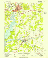
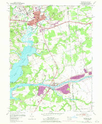
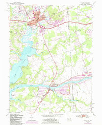
Editions of this 1953 Elkton Map
4 editions found
Other maps of this area

1898 · Elkton
USGS Topo · 1:62,500

1899 · Dover
USGS Topo · 1:125,000

1900 · Elkton
USGS Topo · 1:62,500

1900 · Cecilton
USGS Topo · 1:62,500

1904 · Wilmington
USGS Topo · 1:62,500

1906 · Dover
USGS Topo · 1:125,000

1906 · Wilmington
USGS Topo · 1:62,500

1917 · Elkton
USGS Topo · 1:62,500

1919 · Wilmington
USGS Topo · 1:62,500

1920 · Dover
USGS Topo · 1:125,000