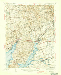
1942 Map of Elkton
USGS Topo · Published 1942About this map
Elkton serves as the focal point for this survey of Cecil County's river-fed landscapes, where the Elk River and Northeast River meet the upper Chesapeake Bay. The map documents a critical maritime and industrial corridor at the onset of the 1940s, featuring the Chesapeake and Delaware Canal and the historic Old Frenchtown Wharf. The geography is defined by its transit heritage, showing the Baltimore and Ohio and Pennsylvania railroads cutting through the terrain alongside early four-lane highway developments.
Find a feature on this map
122 named features on this map. Tap any name to fly to it.
Don’t see what you’re looking for? This feature index may not catch every label — zoom into the map to look around manually.
Map Details
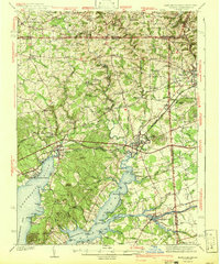
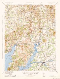
Editions of this 1942 Elkton Map
4 editions found

Other maps of this area

1898 · Elkton
USGS Topo · 1:62,500

1898 · Tolchester
USGS Topo · 1:125,000

1899 · Dover
USGS Topo · 1:125,000

1900 · Elkton
USGS Topo · 1:62,500

1900 · Cecilton
USGS Topo · 1:62,500

1900 · Havre De Grace
USGS Topo · 1:62,500

1900 · Betterton
USGS Topo · 1:62,500

1901 · West Chester
USGS Topo · 1:62,500

1903 · Tolchester
USGS Topo · 1:125,000

1904 · West Chester
USGS Topo · 1:62,500