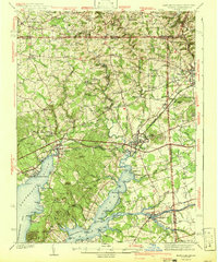
1942 Map of Elkton
USGS Topo · Published 1942About this map
The Mason and Dixon Line defines the northern edge of this Cecil County landscape, where the confluence of the Big Elk Creek and Little Elk Creek flows south toward the Elk River. As a critical transit hub just before the mid-century, Elkton is shown at the junction of major terrestrial and aquatic arteries, including the Pennsylvania Railroad and the vital Chesapeake and Delaware Canal near Chesapeake City.
Find a feature on this map
115 named features on this map. Tap any name to fly to it.
Don’t see what you’re looking for? This feature index may not catch every label — zoom into the map to look around manually.
Map Details
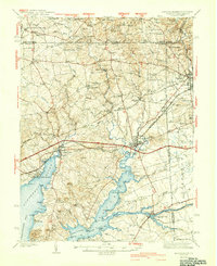
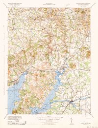
Editions of this 1942 Elkton Map
4 editions found

Other maps of this area

1898 · Elkton
USGS Topo · 1:62,500

1898 · Tolchester
USGS Topo · 1:125,000

1899 · Dover
USGS Topo · 1:125,000

1900 · Elkton
USGS Topo · 1:62,500

1900 · Cecilton
USGS Topo · 1:62,500

1900 · Havre De Grace
USGS Topo · 1:62,500

1900 · Betterton
USGS Topo · 1:62,500

1901 · West Chester
USGS Topo · 1:62,500

1903 · Tolchester
USGS Topo · 1:125,000

1904 · West Chester
USGS Topo · 1:62,500