
1942 Map of Elkton
USGS Topo · Published 1942About this map
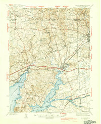
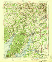
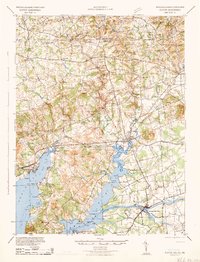
Elkton serves as the hub of this tristate corner, where the Mason and Dixon Line defines the northern boundary between Maryland and Pennsylvania. The map illustrates a landscape shaped by water and transport, from the bustling maritime activity at Old Frenchtown Wharf and Elkton Landing to the inland railroad junctions of the Pennsylvania and Baltimore and Ohio lines.
Find a feature on this map
137 named features on this map. Tap any name to fly to it.
Don’t see what you’re looking for? This feature index may not catch every label — zoom into the map to look around manually.
Map Details
Editions of this 1942 Elkton Map
4 editions found
Other maps of this area

1898 · Elkton
USGS Topo · 1:62,500

1898 · Tolchester
USGS Topo · 1:125,000

1899 · Dover
USGS Topo · 1:125,000

1900 · Elkton
USGS Topo · 1:62,500

1900 · Cecilton
USGS Topo · 1:62,500

1900 · Havre De Grace
USGS Topo · 1:62,500

1900 · Betterton
USGS Topo · 1:62,500

1901 · West Chester
USGS Topo · 1:62,500

1903 · Tolchester
USGS Topo · 1:125,000

1904 · West Chester
USGS Topo · 1:62,500