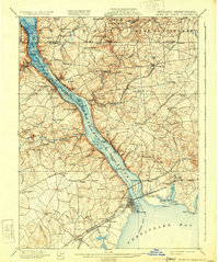
1900 Map of Havre De Grace
USGS Topo · Published 1931About this map
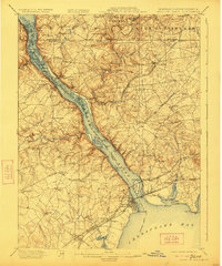
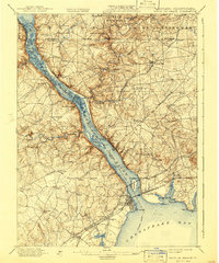
The Susquehanna River dominates this landscape at the turn of the century, serving as the primary corridor for commerce and transport between Maryland and Pennsylvania. This 1899 survey captures the river before the massive hydroelectric projects of the later 20th century, showing a complex network of islands like St. Catherine Id. and Garrett Id.. Along its banks, industrial and agricultural hubs such as Conowingo and Rowlandsville are connected by the Pennsylvania Railroad and the Baltimore and Ohio Railroad.
Find a feature on this map
139 named features on this map. Tap any name to fly to it.
Don’t see what you’re looking for? This feature index may not catch every label — zoom into the map to look around manually.
Map Details
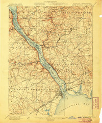
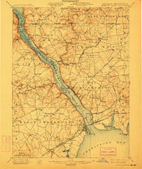
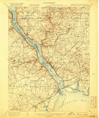
Editions of this 1900 Havre De Grace Map
7 editions found
Other maps of this area

1893 · Gunpowder
USGS Topo · 1:62,500

1898 · Elkton
USGS Topo · 1:62,500

1898 · Tolchester
USGS Topo · 1:125,000

1899 · Dover
USGS Topo · 1:125,000

1900 · Elkton
USGS Topo · 1:62,500

1900 · Cecilton
USGS Topo · 1:62,500

1900 · Havre De Grace
USGS Topo · 1:62,500

1900 · Betterton
USGS Topo · 1:62,500

1901 · Belair
USGS Topo · 1:62,500

1901 · Gunpowder
USGS Topo · 1:62,500