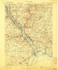
1900 Map of Havre De Grace
USGS Topo · Published 1920About this map
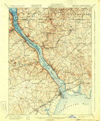
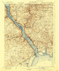
The Susquehanna River dominates this 1900 landscape as it flows toward the head of the Chesapeake Bay, serving as a vital corridor for both natural drainage and industrial transport. Along its eastern banks, the town of Port Deposit and the nearby Principio Furnace illustrate the era's reliance on river-and-rail connectivity. The terrain is deeply incised by major tributaries like Octoraro Creek and Conowingo Creek, while the shoreline is dotted with named islands such as Persimmon Id. and Hickorynut Ids.
Find a feature on this map
144 named features on this map. Tap any name to fly to it.
Don’t see what you’re looking for? This feature index may not catch every label — zoom into the map to look around manually.
Map Details
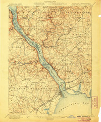
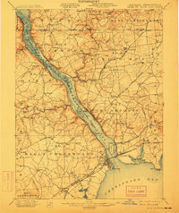
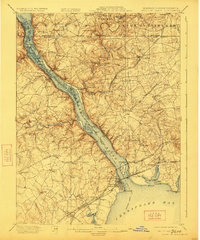
Editions of this 1900 Havre De Grace Map
7 editions found
Other maps of this area

1893 · Gunpowder
USGS Topo · 1:62,500

1898 · Elkton
USGS Topo · 1:62,500

1898 · Tolchester
USGS Topo · 1:125,000

1899 · Dover
USGS Topo · 1:125,000

1900 · Elkton
USGS Topo · 1:62,500

1900 · Cecilton
USGS Topo · 1:62,500

1900 · Havre De Grace
USGS Topo · 1:62,500

1900 · Betterton
USGS Topo · 1:62,500

1901 · Belair
USGS Topo · 1:62,500

1901 · Gunpowder
USGS Topo · 1:62,500