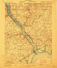
1900 Map of Havre De Grace
USGS Topo · Published 1912About this map
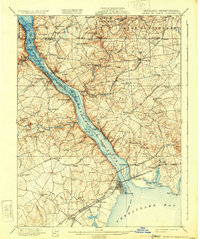
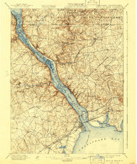
The Susquehanna River dominates this turn-of-the-century landscape, acting as a bustling corridor for transport and industry between Maryland and Pennsylvania. Along its western banks, the Columbia and Tidwater Canal is already noted as abandoned, signaling the shift from water-powered transit to the dominance of the Baltimore and Ohio RR and Pennsylvania RR. The map captures the commercial vitality of Port Deposit and the strategic rail junction at Perryville.
Find a feature on this map
152 named features on this map. Tap any name to fly to it.
Don’t see what you’re looking for? This feature index may not catch every label — zoom into the map to look around manually.
Map Details
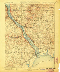
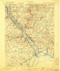
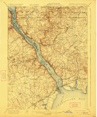
Editions of this 1900 Havre De Grace Map
7 editions found
Other maps of this area

1893 · Gunpowder
USGS Topo · 1:62,500

1898 · Elkton
USGS Topo · 1:62,500

1898 · Tolchester
USGS Topo · 1:125,000

1899 · Dover
USGS Topo · 1:125,000

1900 · Elkton
USGS Topo · 1:62,500

1900 · Cecilton
USGS Topo · 1:62,500

1900 · Havre De Grace
USGS Topo · 1:62,500

1900 · Betterton
USGS Topo · 1:62,500

1901 · Belair
USGS Topo · 1:62,500

1901 · Gunpowder
USGS Topo · 1:62,500