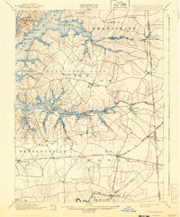
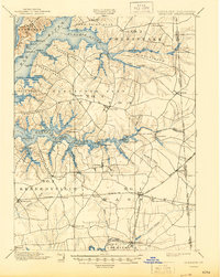
1900 Map of Cecilton
USGS Topo · Published 1943About this map
The intricate shorelines of the Chesapeake Bay, Elk River, and Bohemia River define this coastal landscape at the end of the 19th century. Extensive necks of land, such as Veazey Neck and Pearce Neck, stretch toward the water, revealing a geography dominated by tidal estuaries and maritime access points. The interior is characterized by crossroads villages and small agricultural hubs like Cecilton, Galena, and Warwick, many of which served as vital transit points between the rivers and the nearby Maryland Delaware Boundary Line.
Find a feature on this map
88 named features on this map. Tap any name to fly to it.
Don’t see what you’re looking for? This feature index may not catch every label — zoom into the map to look around manually.
Map Details
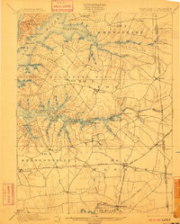
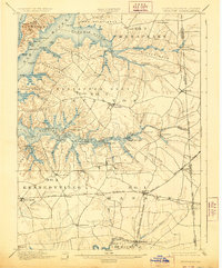
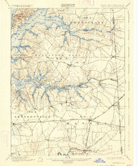
Editions of this 1900 Cecilton Map
6 editions found
Other maps of this area

1898 · Elkton
USGS Topo · 1:62,500

1898 · Tolchester
USGS Topo · 1:125,000

1899 · Dover
USGS Topo · 1:125,000

1900 · Elkton
USGS Topo · 1:62,500

1900 · Cecilton
USGS Topo · 1:62,500

1900 · Havre De Grace
USGS Topo · 1:62,500

1900 · Betterton
USGS Topo · 1:62,500

1901 · Chestertown
USGS Topo · 1:62,500

1903 · Tolchester
USGS Topo · 1:125,000

1904 · Wilmington
USGS Topo · 1:62,500