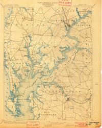
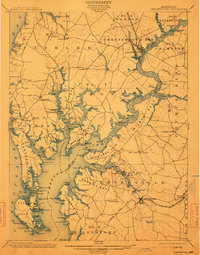
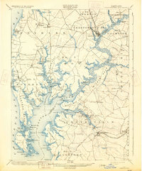
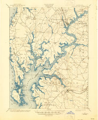
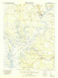
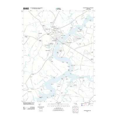
1901 Map of Chestertown
USGS Topo · Published 1901About this map
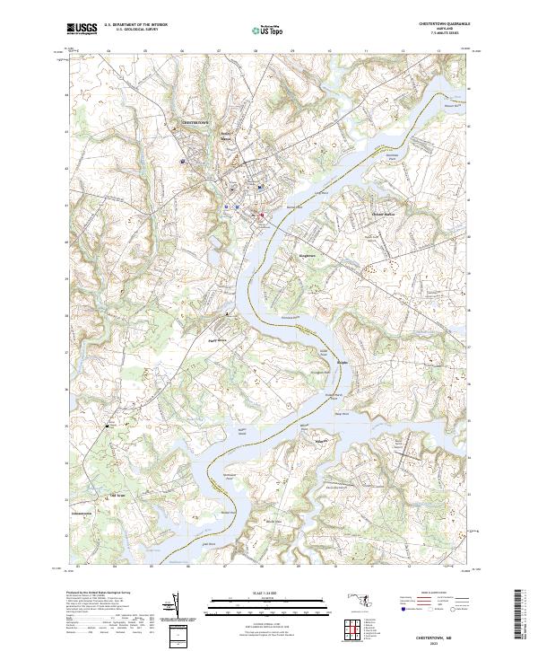
Chestertown and Centerville anchor this detailed study of the upper Chesapeake Bay and the winding Chester River at the turn of the century. The map documents an era of transition for Eastern Shore transportation, clearly noting the Baltimore and Delaware R.R. as already abandoned while the Q.A. & K.C. R.R. (Queen Anne and Kent Co. R.R.) remains active, connecting inland settlements to the waterfront. The intricate shoreline of Broad Neck, Spaniard's Neck, and Eastern Neck Island is dotted with numerous commercial and private landings, such as Vickers Whf., Bogles Wharf, and Quaker Neck Landing. These maritime hubs, alongside features like Leary's Mill Whf., reveal a river-based economy where agriculture and trade relied heavily on water access before the widespread adoption of modern highways.
Find a feature on this map
143 named features on this map. Tap any name to fly to it.
Don’t see what you’re looking for? This feature index may not catch every label — zoom into the map to look around manually.
Map Details
Editions of this 1901 Chestertown Map
4 editions found
Historical Maps of Chestertown Through Time
10 maps found
1901 Chestertown
Kent County, MD
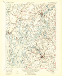
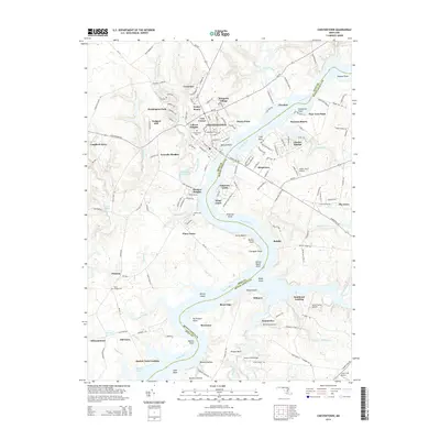
1920 Chestertown
Kent County, MD
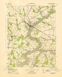
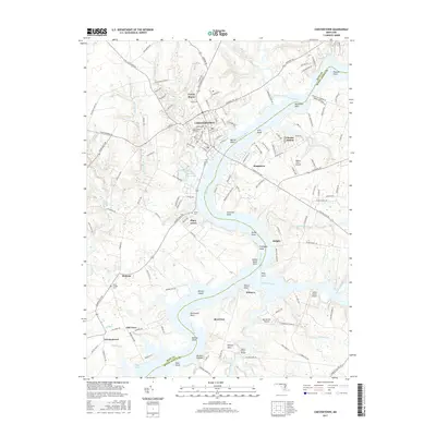
1943 Chestertown
Kent County, MD
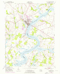
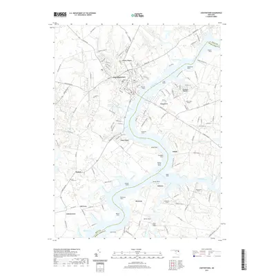
1951 Chestertown
Kent County, MD
1953 Chestertown
Kent County, MD
2011 Chestertown
Kent County, MD
2014 Chestertown
Kent County, MD
2017 Chestertown
Kent County, MD
2019 Chestertown
Kent County, MD
2023 Chestertown
Kent County, MD