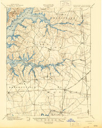
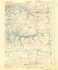
1900 Map of Cecilton
USGS Topo · Published 1945About this map
Deep-water landings and established milling sites define the northern Eastern Shore at the close of the 19th century. Along the Bohemia River and Sassafras River, the landscape is divided into prominent land necks such as Veazey Neck and Grove Neck, reflecting a settlement pattern heavily reliant on tidal access. Maritime commerce is evident at Reybold Whf. and Fox Hole Landing, where local produce and goods met the bay trade.
Find a feature on this map
83 named features on this map. Tap any name to fly to it.
Don’t see what you’re looking for? This feature index may not catch every label — zoom into the map to look around manually.
Map Details
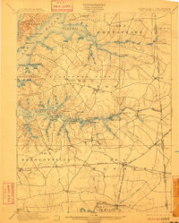
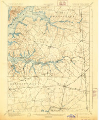
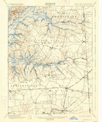
Editions of this 1900 Cecilton Map
6 editions found
Other maps of this area

1898 · Elkton
USGS Topo · 1:62,500

1898 · Tolchester
USGS Topo · 1:125,000

1899 · Dover
USGS Topo · 1:125,000

1900 · Elkton
USGS Topo · 1:62,500

1900 · Cecilton
USGS Topo · 1:62,500

1900 · Havre De Grace
USGS Topo · 1:62,500

1900 · Betterton
USGS Topo · 1:62,500

1901 · Chestertown
USGS Topo · 1:62,500

1903 · Tolchester
USGS Topo · 1:125,000

1904 · Wilmington
USGS Topo · 1:62,500