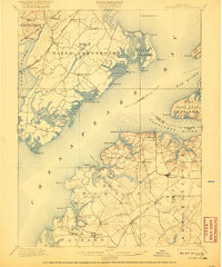
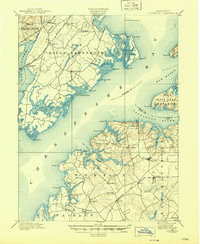
1900 Map of Betterton
USGS Topo · Published 1920About this map
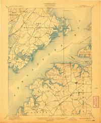
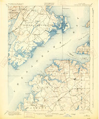
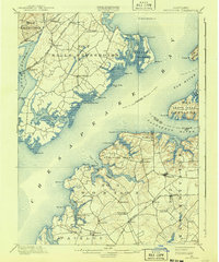
Chesapeake Bay waters dominate this coastal landscape, where the Sassafras River and Elk River converge at the northern reaches of the bay. The map documents a maritime economy defined by landings and wharves, such as Harris Wharf and Buck Neck Landing, which served as vital transit points for agricultural goods before the expansion of modern road networks. On the eastern shore in Kent County, small crossroads like Stillpond and Betterton appear as established community centers.
Find a feature on this map
80 named features on this map. Tap any name to fly to it.
Don’t see what you’re looking for? This feature index may not catch every label — zoom into the map to look around manually.
Map Details
Editions of this 1900 Betterton Map
6 editions found
Other maps of this area

1893 · North Point
USGS Topo · 1:62,500

1893 · Gunpowder
USGS Topo · 1:62,500

1898 · Elkton
USGS Topo · 1:62,500

1898 · Tolchester
USGS Topo · 1:125,000

1899 · Dover
USGS Topo · 1:125,000

1900 · Elkton
USGS Topo · 1:62,500

1900 · Cecilton
USGS Topo · 1:62,500

1900 · Havre De Grace
USGS Topo · 1:62,500

1900 · Betterton
USGS Topo · 1:62,500

1901 · Belair
USGS Topo · 1:62,500