Loading...
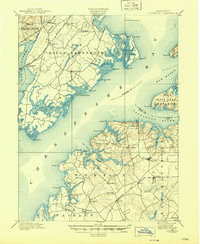
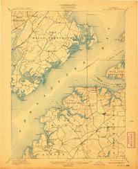
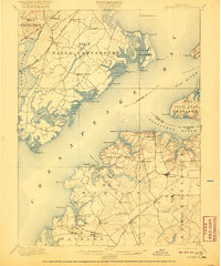
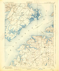
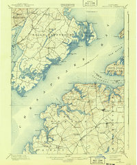
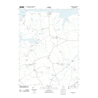
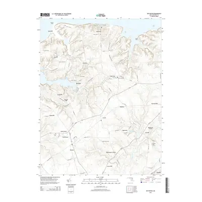
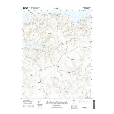
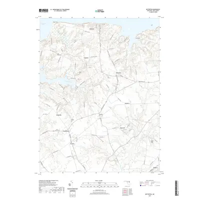
Loading map...1900 Map of Betterton
USGS Topo · Published 1945About this map
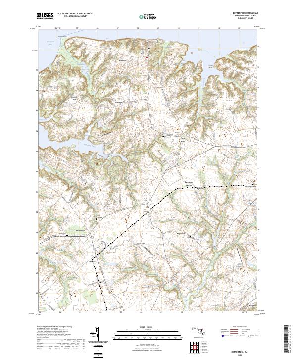
The northern reaches of the Chesapeake Bay define this landscape, where the Elk River and Sassafras River converge. At the turn of the century, the region was characterized by its maritime economy and a network of landing sites such as Harris Wharf, Gales Whf., and Buck Neck Landing. On the Harford County side, the Baltimore and Ohio RR and Phila. Wilm. and Balto. RR cut through established farming communities like Perryman and Michaelsville.
Find a feature on this map
79 named features on this map. Tap any name to fly to it.
Don’t see what you’re looking for? This feature index may not catch every label — zoom into the map to look around manually.
Map Details
Date Portrayed1900
Date Published1945
PublisherU.S. Geological Survey
Map TypeTopographic
Scale1:62,500
Physical Dimensions17 x 20.7 inches
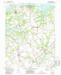
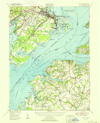
Editions of this 1900 Betterton Map
6 editions found

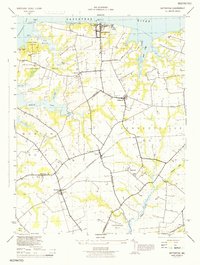
Historical Maps of Aberdeen Through Time
9 maps found
Featured Locations
Source Details
SourceU.S. Geological Survey
CopyrightPublic Domain