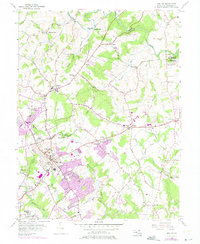
1956 Map of Bel Air
USGS Topo · Published 1975About this map
Bel Air serves as the focal point of this Harford County study, showing the transition from a traditional county seat to a growing mid-century community. Civic life is anchored by the Court House, Armory, and County Jail, while spiritual and educational centers like Ames Ch, St Emmanuel Ch, and the High Sch populate the central district. Peripheral expansion is evident in the purple revision data, marking new developments near Fountain Green and the Bel Air Memorial Gardens.
Find a feature on this map
89 named features on this map. Tap any name to fly to it.
Don’t see what you’re looking for? This feature index may not catch every label — zoom into the map to look around manually.
Map Details
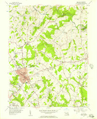
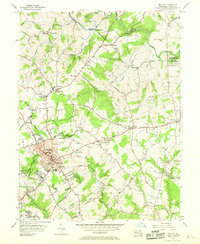
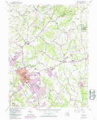
Editions of this 1956 Bel Air Map
4 editions found
Other maps of this area

1893 · Gunpowder
USGS Topo · 1:62,500

1898 · Tolchester
USGS Topo · 1:125,000

1900 · Havre De Grace
USGS Topo · 1:62,500

1900 · Betterton
USGS Topo · 1:62,500

1901 · Belair
USGS Topo · 1:62,500

1901 · Gunpowder
USGS Topo · 1:62,500

1903 · Tolchester
USGS Topo · 1:125,000

1908 · Tolchester
USGS Topo · 1:125,000

1941 · Gunpowder
USGS Topo · 1:62,500

1942 · Havre De Grace
USGS Topo · 1:62,500