
Loading...
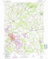
Loading map...1945 Map of Bel Air
USGS Topo · Published 1945About this map
The Maryland and Pennsylvania R. R. winds through the hills of Harford County and York County, serving as the backbone for numerous small rural settlements at the close of World War II. This 1945 survey documents the critical interface between southern Pennsylvania and northern Maryland, where the rail line connects towns like Whiteford, Cardiff, and Delta—a region historically significant for its slate quarrying and mineral deposits near the Peach Bottom ridge.
Find a feature on this map
84 named features on this map. Tap any name to fly to it.
Don’t see what you’re looking for? This feature index may not catch every label — zoom into the map to look around manually.
Map Details
Date Portrayed1945
Date Published1945
PublisherU.S. Geological Survey
Map TypeTopographic
Scale1:62500
Physical Dimensions16.4 x 20.6 inches
Editions of this 1945 Bel Air Map
This is the sole edition of this map. No revisions or reprints were ever made.
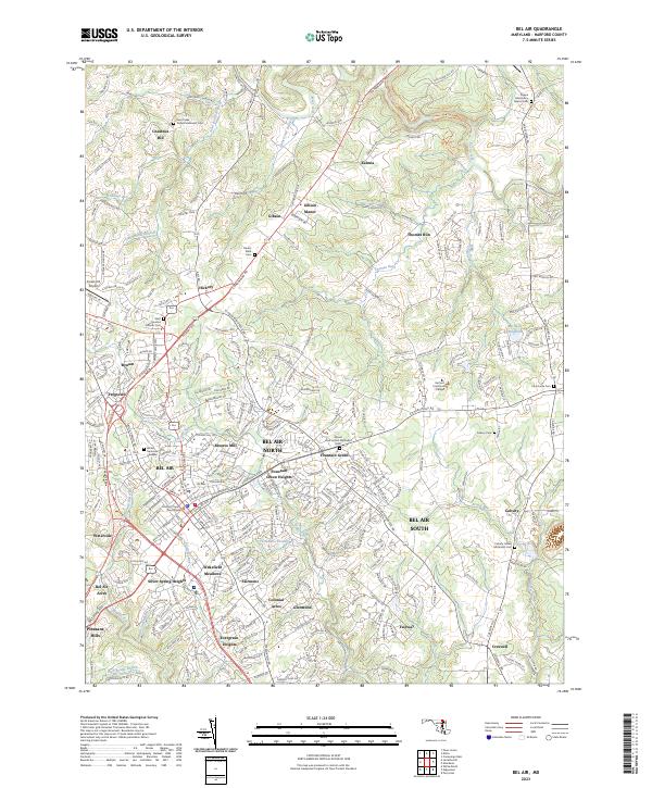
Historical Maps of Harford Heritage Through Time
4 maps found

Featured Locations
Source Details
SourceU.S. Geological Survey
CopyrightPublic Domain