Loading...
Loading map...2023 Map of Belleville
USGS Topo · Published 2023About this map
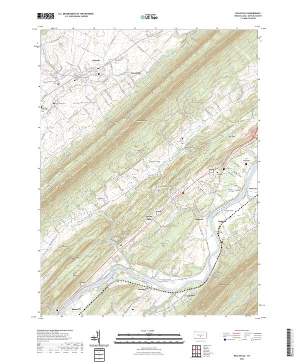
Kishacoquillas Valley and the formidable ridge of Jacks Mountain dominate this central Pennsylvania landscape, illustrating the classic ridge-and-valley topography of Mifflin County. The settlement of Belleville serves as a northern anchor, while the southern edge follows the winding course of the Juniata River. Cultural history is deeply etched into the land here, evidenced by numerous small burial grounds such as the Strodes Mills Mennonite Cem and the McKee Family Cem.
Find a feature on this map
45 named features on this map. Tap any name to fly to it.
Don’t see what you’re looking for? This feature index may not catch every label — zoom into the map to look around manually.
Map Details
Date Portrayed2023
Date Published2023
PublisherU.S. Geological Survey
Map TypeTopographic
Scale1:24000
Physical Dimensions24 x 29 inches
Editions of this 2023 Belleville Map
This is the sole edition of this map. No revisions or reprints were ever made.
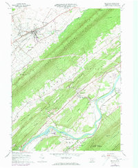
Historical Maps of Union Township Through Time
Featured Locations
Source Details
SourceU.S. Geological Survey
CopyrightPublic Domain