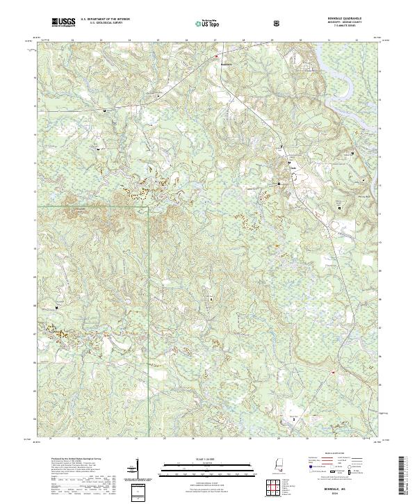
2024 Map of Benndale
USGS Topo · Published 2024About this map
Benndale sits within a landscape defined by the winding course of the Pascagoula River and the expansive reaches of the De Soto National Forest. This George County terrain is heavily marked by its water systems, including the southern flow of Red Creek and the intricate drainage of Sweetwater Creek and Black Creek. For those researching local lineages, the map is remarkably dense with family-named landmarks and small burial grounds such as the Byrd - Cowart Cem, Mixon Cem, and the Reeves Family Cem.
Find a feature on this map
87 named features on this map. Tap any name to fly to it.
Don’t see what you’re looking for? This feature index may not catch every label — zoom into the map to look around manually.
Map Details
Editions of this 2024 Benndale Map
This is the sole edition of this map. No revisions or reprints were ever made.
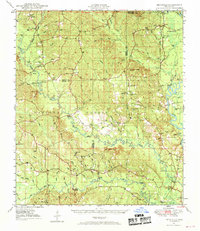
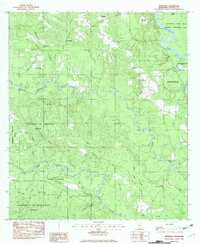
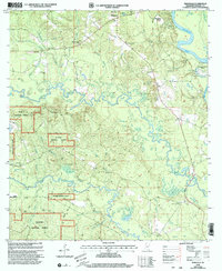
Historical Maps of Dale Through Time
5 maps found